
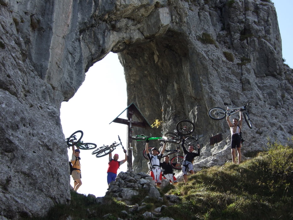

"Bellissima gita" che unisce un lunga salita ad altrettanta lungadiscesa.Salendo su asfalto da Varenna al Cainallo,si raggiunge laBietti dal Cainallo passando per la bocchetta di Prada,(tratti con bicia spinta e in spalla).
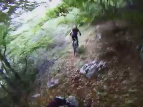
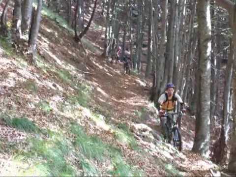
Discesa direttamente sotto il rifugio subito tosta dall inizio
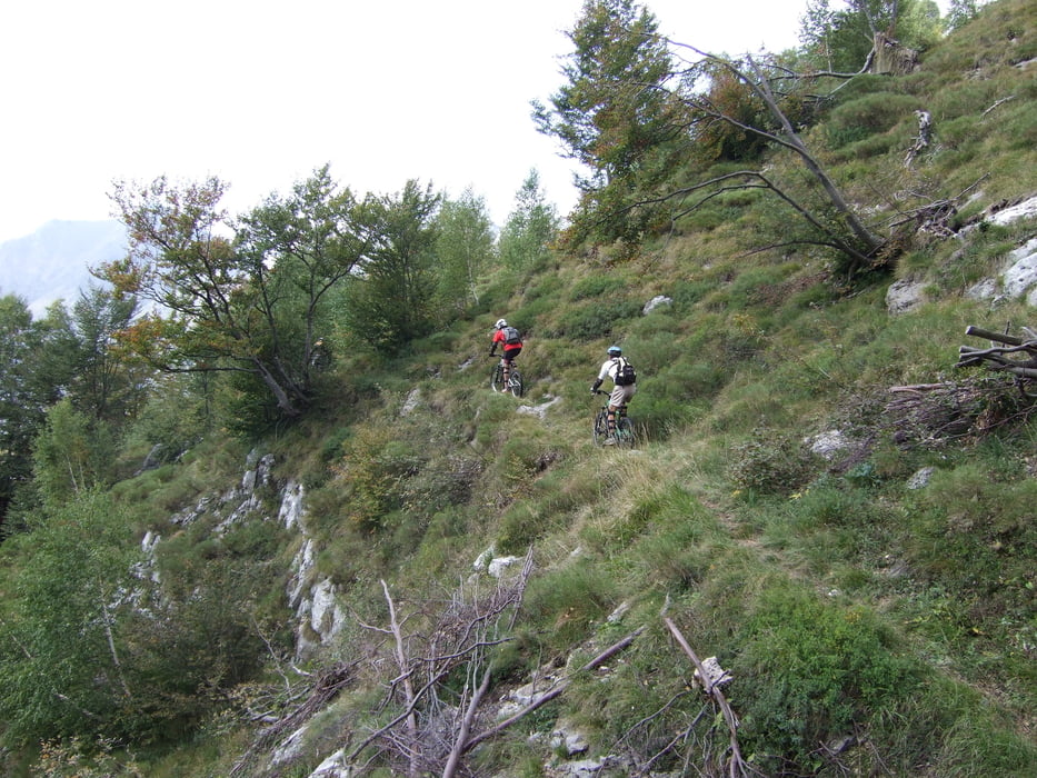
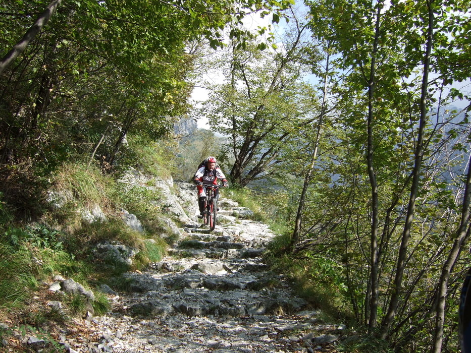
alla fine con passaggi tecnici ed altri nel bosco più scorrevoli,direi molto completa e divertente. sentiero 15 - 15a - 17 - 15 fino a Sonvico.
Portarsi tanta acqua!!
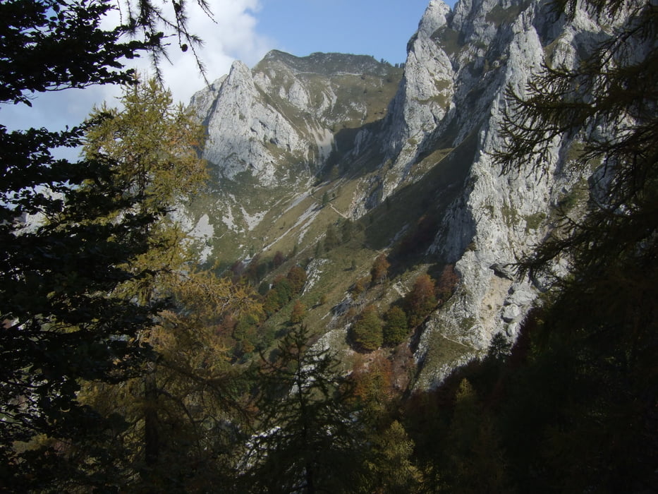
Attenzione la discesa è lunga 17 km, bellissima, ma non si deve mai perdere la concentrazione, sopratutto alla fine quando si è stanchi.
come dopo gita consiglio di fare un bel tuffo nel lago, a Lierna c'è una bellissima spiaggia.
Cascocam http://www.vimeo.com/6882984
Tour gallery


Tour map and elevation profile
Minimum height 249 m
Maximum height 1713 m
More about the tour author

|
Silvia_Arno |
Comments
GPS tracks
Trackpoints-
GPX / Garmin Map Source (gpx) download
-
TCX / Garmin Training Center® (tcx) download
-
CRS / Garmin Training Center® (crs) download
-
Google Earth (kml) download
-
G7ToWin (g7t) download
-
TTQV (trk) download
-
Overlay (ovl) download
-
Fugawi (txt) download
-
Kompass (DAV) Track (tk) download
-
Track data sheet (pdf) download
-
Original file of the author (gpx) download
More about the tour author
|
|
Silvia_Arno |
Add to my favorites
Remove from my favorites
Edit tags
Open track
My score
Rate
Für Tourenbiker nicht geeignet
Evtl. für reine Downhillpiloten interessant, aber selbst die werden einiges Tragen!