


Hallo
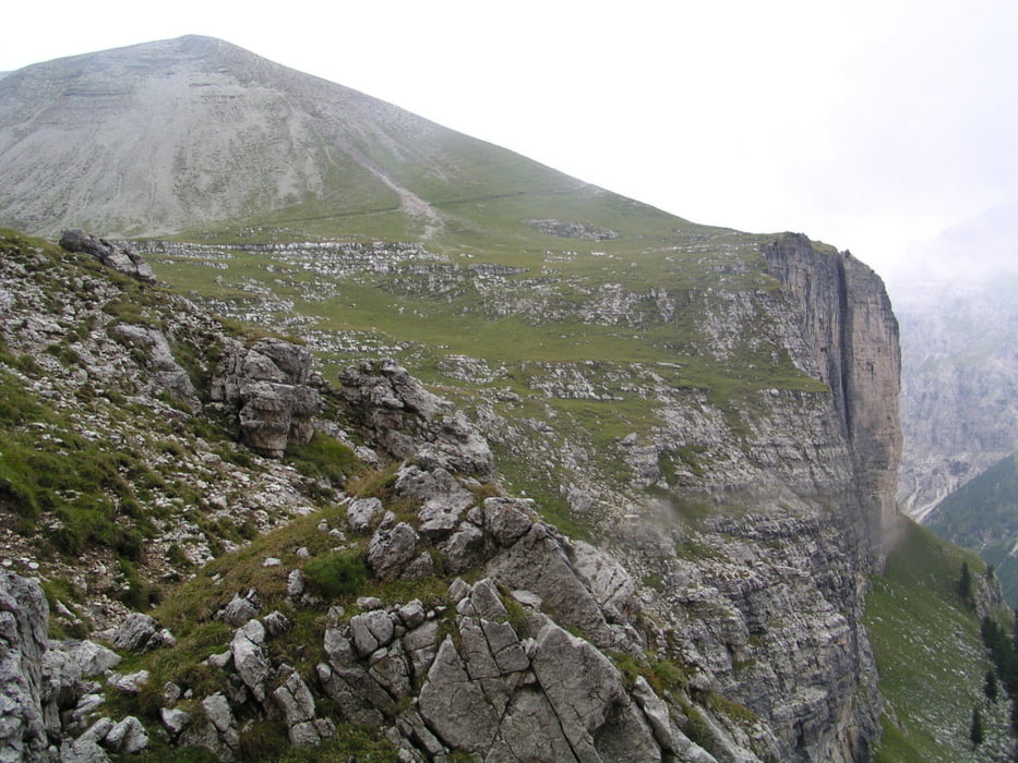
Wir haben eine schöne und anstrengene Tour hinter uns gelassen. Die Landschaft, die Trails und die Menschen waren wieder einmalig. Die Tour kann man mit ruhigen Gewissen, für Leute mit mittlere Kondition, empfehlen.
Es ist super interressant die vielen Landschaftsvariationen Südtirols erleben zu dürfen.
Für die Hotelsuche möchte ich das Hotel Garni Hotel Mezdi vorschlagen.Sehr günstig!!!
Tour gallery

Tour map and elevation profile
Minimum height 1568 m
Maximum height 2494 m
More about the tour author
|
|
julianernst |
Comments

Mit den Bus nach Corvara
GPS tracks
Trackpoints-
GPX / Garmin Map Source (gpx) download
-
TCX / Garmin Training Center® (tcx) download
-
CRS / Garmin Training Center® (crs) download
-
Google Earth (kml) download
-
G7ToWin (g7t) download
-
TTQV (trk) download
-
Overlay (ovl) download
-
Fugawi (txt) download
-
Kompass (DAV) Track (tk) download
-
Track data sheet (pdf) download
-
Original file of the author (gpx) download
More about the tour author
|
|
julianernst |
Add to my favorites
Remove from my favorites
Edit tags
Open track
My score
Rate