Login

Forgot your login?

Cookies have to be accepted!
Your browser's cookie functionality is disabled. Please enable this functionality.

Not a member yet?

Register now
Login

Available for registred users only

Log in to use this feature.

Forgot your login?

Cookies have to be accepted!
Your browser's cookie functionality is disabled. Please enable this functionality.

Not a member yet?

Register now
Filter
Categories
Advanced filters
  • Distance (km)
  • Height
Save filters Reset filter

TrackRank

QRCode

Technical data

Distance23,9 km Height454 m Way down447 m Duration01:30 h:m Date05.10.2009
Scores Author Landscape Fun factor Fitness Technique

Statistics

328 Views Scores 60 Downloads Average
Rate
  • Track data sheet
  • Directions
  • Downloads

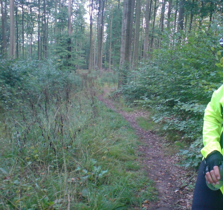
Tour mit großem Anteil an Forst- und Schotterwegen und einem kleinem Trail .

Tour map and elevation profile

  • Open Street Map
  • Google
Minimum height 138 m Maximum height 415 m Detailed view

More about the tour author

VIVA61
Member since 2008

Send private message

Comments

Die Tour startet an der Esso Tankstelle in Braunfels - geht dann über Solms Niederbiel über die Dianaburg  Leun Lahnbahmhof zurück nach Braunfels

GPS tracks

Trackpoints
  • GPX / Garmin Map Source (gpx) download
  • TCX / Garmin Training Center® (tcx) download
  • CRS / Garmin Training Center® (crs) download
  • Google Earth (kml) download
  • G7ToWin (g7t) download
  • TTQV (trk) download
  • Overlay (ovl) download
  • Fugawi (txt) download
  • Kompass (DAV) Track (tk) download
  • Track data sheet (pdf) download
  • Original file of the author (gpx) download

More about the tour author

VIVA61
Member since 2008

Send private message
Share track
Add to my favorites
Remove from my favorites
Edit tags
My score
Rate
Track: Fahrt zur Dianaburg
Type: Mountain bike
Distance: 23,9 km
Evaluated on:
Duration:
Day(s)
Hour(s)
Minute(s)
Score: Landscape Fun factor Fitness Technique