Login

Forgot your login?

Cookies have to be accepted!
Your browser's cookie functionality is disabled. Please enable this functionality.

Not a member yet?

Register now
Login

Available for registred users only

Log in to use this feature.

Forgot your login?

Cookies have to be accepted!
Your browser's cookie functionality is disabled. Please enable this functionality.

Not a member yet?

Register now
Filter
Categories
Advanced filters
  • Distance (km)
  • Height
Save filters Reset filter

TrackRank

QRCode

Technical data

Distance13,6 km Height649 m Way down941 m Duration06:49 h:m Date06.10.2009
Scores Author Landscape Fun factor Fitness Technique

Statistics

3807 Views 2 Scores 308 Downloads 3.00 Average
Rate
  • Track data sheet
  • Directions
  • Downloads

Wanderung zum Hohen Ifen.

Eine schöne anstrengende ( Rückweg ) Rundwanderung.

Ausgehend vom Parkplatz Ifen 2000 fahren wir von Auenhütte mit dem Sessellift zur Ifenhütte.

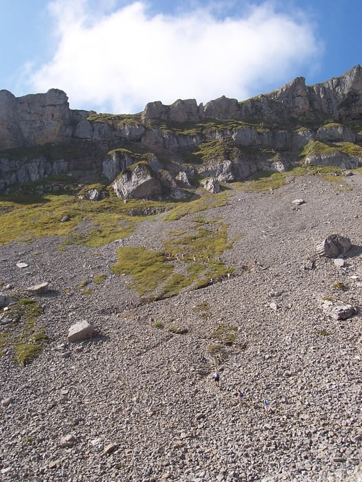
Von dort aus geht es Bergauf über ein Geröllfeld und ein Grasfeld zum Gipfel.

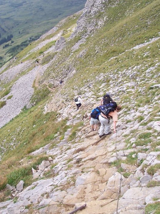
Der Rückweg ist sehr anspruchsvoll und geht ganz schön in die Beine, ist aber Landschaftlich sehr schön. Wir gingen über die Schwarzwasserhütte und die Melköde zurück zur Auenhütte

Tour gallery

Tour map and elevation profile

  • Open Street Map
  • Google
Minimum height 1279 m Maximum height 2195 m Detailed view

More about the tour author

Bomber
Member since 2008

Send private message

Comments

GPS tracks

Trackpoints
  • GPX / Garmin Map Source (gpx) download
  • TCX / Garmin Training Center® (tcx) download
  • CRS / Garmin Training Center® (crs) download
  • Google Earth (kml) download
  • G7ToWin (g7t) download
  • TTQV (trk) download
  • Overlay (ovl) download
  • Fugawi (txt) download
  • Kompass (DAV) Track (tk) download
  • Track data sheet (pdf) download
  • Original file of the author (gpx) download

More about the tour author

Bomber
Member since 2008

Send private message
Share track
Add to my favorites
Remove from my favorites
Edit tags
My score
Rate
Track: Wanderung zum Hohen Ifen,Kleinwalsertal
Type: Hiking
Distance: 13,6 km
Evaluated on:
Duration:
Day(s)
Hour(s)
Minute(s)
Score: Landscape Fun factor Fitness Technique