


Der Start ist noch happig, besonders wenn man kalt rein geht.
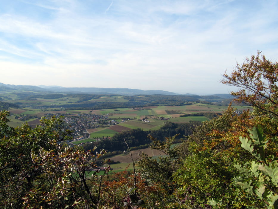
Bei der Flue Homburg ist der Abstieg sehr happig und technisch anspruchsvoll, aber man kann das Bike auch sehr gut stossen. Die Aussicht da oben ist aber atemberaubend.
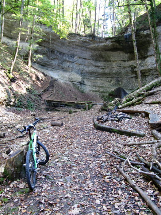
Auf der gesamten Tour hat es immer wieder sehr schön gelegene Brätelstellen wo man wunderbar eine längere Rast einlegen könnte.
Zudem kommt man am Restaurant Bad Ramsach vorbei. Von da aus kann man auch gut einen Abstecher auf den Wisenberg machen (wenn die Kondition ausreicht :-))
Meine 2 Stunden Dauer bezieht sich nur auf die effektive Fahrzeit. Mit Pausen habe ich 3 Stunden gebraucht.
Further information at
http://www.bad-ramsach.ch/Tour gallery
Tour map and elevation profile
Minimum height 366 m
Maximum height 793 m
More about the tour author
|
|
Durness |
Comments

Der Start ist im Gelterkinderpärkli, gleich hinter dem Altersheim. Dort hat es auch meistens genügend Parkplätze vorhanden.
GPS tracks
Trackpoints-
GPX / Garmin Map Source (gpx) download
-
TCX / Garmin Training Center® (tcx) download
-
CRS / Garmin Training Center® (crs) download
-
Google Earth (kml) download
-
G7ToWin (g7t) download
-
TTQV (trk) download
-
Overlay (ovl) download
-
Fugawi (txt) download
-
Kompass (DAV) Track (tk) download
-
Track data sheet (pdf) download
-
Original file of the author (gpx) download
More about the tour author
|
|
Durness |
Add to my favorites
Remove from my favorites
Edit tags
Open track
My score
Rate