


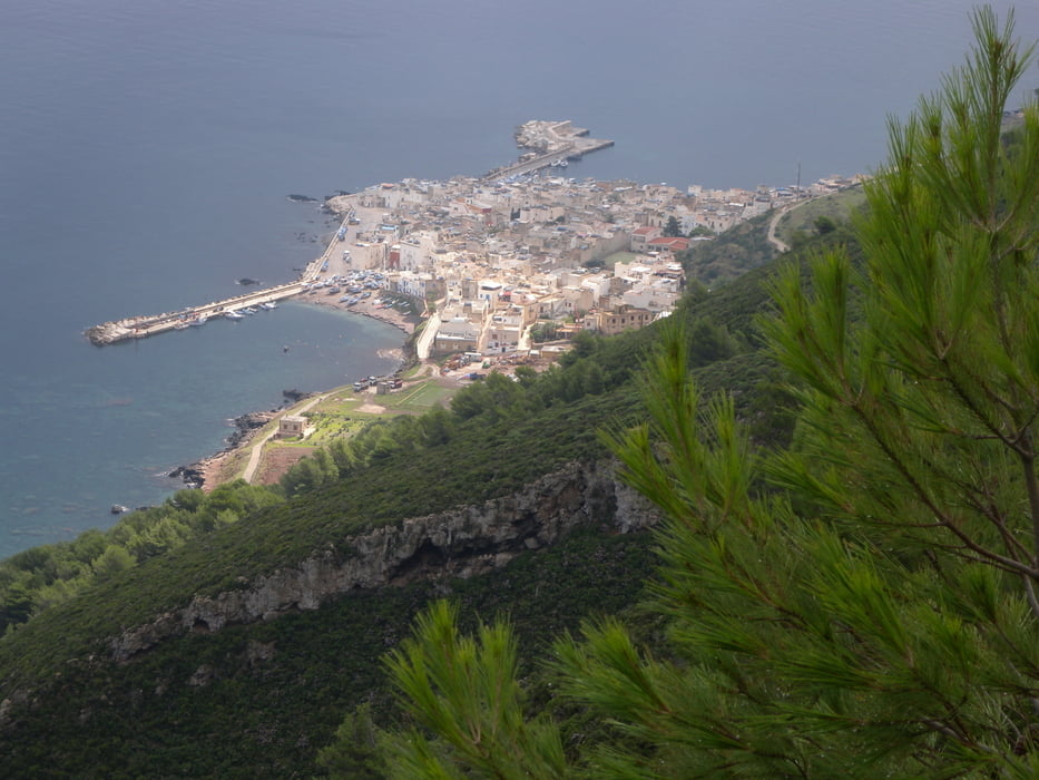
Marettimo ist die westlichste der ägadischen Inseln. Es ist ein einzelner Berg, der aus dem Wasser ragt. Das Dorf, an der einzigen flachen Stelle der Insel gebaut, hat etwa 200 Einwohner, die ganzjährig dort wohnen.
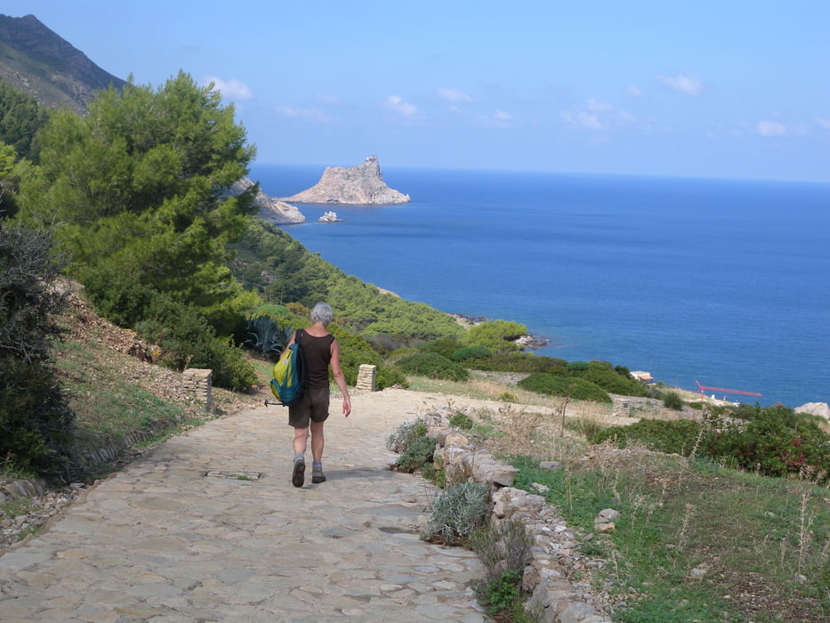
Marettimo hat ein gut ausgebautes Wanderwegnetz mit gut gepflegten und bezeichneten Wegen.
Im September ist ideales Wanderwetter. Wir haben allerdings den Gipfel des Monte Falcone nicht erreicht, weil eine hartnäckige Wolke jede Sicht verunmöglichte - dennoch eine schöne Wanderung, bis zum Gipfel hätten noch ca 15 Min gefehlt.
Idee aus dem Reiseführer «Sizilien» Michael Müller Verlag
Tour gallery


Tour map and elevation profile
Minimum height 4 m
Maximum height 534 m
More about the tour author
|
|
gerosa |
Comments

Von Trapani verkehren Schnellbote (Aliscafi) im Sommer mehrmals, im Winterhalbjahr (ab Oktober) nur 3 Verbindungen pro Tag.
Fahrdauer ab Trapani 1:30 Std.
GPS tracks
Trackpoints-
GPX / Garmin Map Source (gpx) download
-
TCX / Garmin Training Center® (tcx) download
-
CRS / Garmin Training Center® (crs) download
-
Google Earth (kml) download
-
G7ToWin (g7t) download
-
TTQV (trk) download
-
Overlay (ovl) download
-
Fugawi (txt) download
-
Kompass (DAV) Track (tk) download
-
Track data sheet (pdf) download
-
Original file of the author (gpx) download
More about the tour author
|
|
gerosa |
Add to my favorites
Remove from my favorites
Edit tags
Open track
My score
Rate