Login

Forgotten password?

Cookies have to be accepted!
Your browser's cookie functionality is disabled. Please enable this functionality.

Not a member yet?

Register now
Login

Available for registred users only

Log in to use this feature.

Forgotten password?

Cookies have to be accepted!
Your browser's cookie functionality is disabled. Please enable this functionality.

Not a member yet?

Register now
Filter
Categories
Advanced filters
  • Distance (km)
  • Height
Save filters Reset filter

TrackRank

QRCode

Technical data

Distance46,8 km Height1161 m Way down1161 m Duration05:00 h:m Date10.10.2009
Scores Author Landscape Fun factor Fitness Technique

Statistics

1247 Views 2 Scores 150 Downloads 4.50 Average
Rate
  • Track data sheet
  • Directions
  • Downloads

Die Tour beginnt am Bahnhof in Bleibach. Über Siegelau erfolgt der Aufstieg bis zum Hühnersedelturm. Über Ottoschwanden, freiamt geht es weiter zum Eichbergturm, von dort zur Burgruine Hochburg, hinunter nach Sexau, über das Sexauer Haseneckle in Kohlenbachtal und über Kollnau und Gutach wieder zurück nach Bleibach.

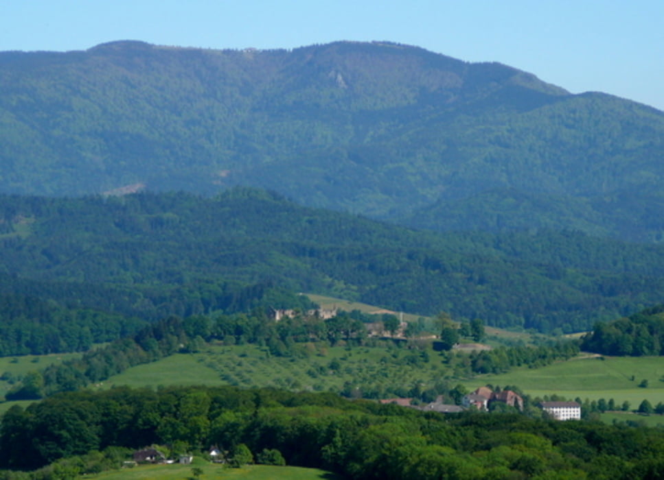
Die Tour bietet herrliche Ausblicke, 2 Aussichtstürme und die größte Burgruinie im nähren Umkreis. 

Tour gallery

Tour map and elevation profile

  • Open Street Map
  • Google
Minimum height 227 m Maximum height 745 m Detailed view

More about the tour author

OskarScherzinger
Member since 2008

Send private message

Comments

GPS tracks

Trackpoints
  • GPX / Garmin Map Source (gpx) download
  • TCX / Garmin Training Center® (tcx) download
  • CRS / Garmin Training Center® (crs) download
  • Google Earth (kml) download
  • G7ToWin (g7t) download
  • TTQV (trk) download
  • Overlay (ovl) download
  • Fugawi (txt) download
  • Kompass (DAV) Track (tk) download
  • Track data sheet (pdf) download
  • Original file of the author (gpx) download

More about the tour author

OskarScherzinger
Member since 2008

Send private message
Share track
Add to my favorites
Remove from my favorites
Edit tags
My score
Rate
Track: Bleibach - Hühnersedel - Eichbergturm
Type: Mountain bike
Distance: 46,8 km
Evaluated on:
Duration:
Day(s)
Hour(s)
Minute(s)
Score: Landscape Fun factor Fitness Technique