


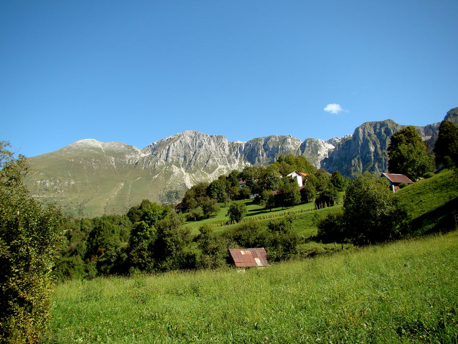
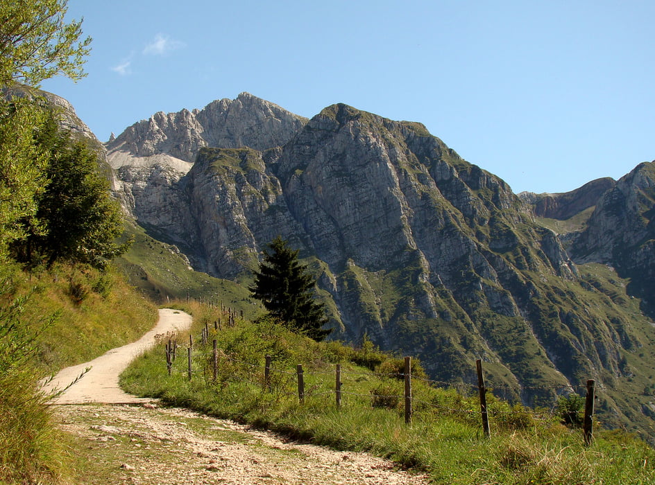
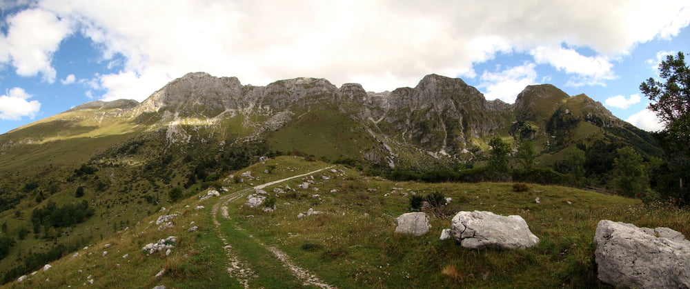
Začetek ture je Tolmin,mimo reke Soče po makedamski cesti,katera se kmalu zaključi in nadaljujemo po asfaltni cesti do vasi Kamno.Tu se začne vzpon po asfaltu do vasi Krn,natančneje do planine Kuhinja,kjer se začne makedam.Strma cesta pelje do planine Zaslap.Po isti cesti se spustimo,do planine Kuhinja,kjer se levo odcepi strma cesta na planino Leskovca,od tu naprej pa po pešpoti,katera pripelje na cesto do planine Pretovč in levo na planino Sleme.Na visoč vrh se povzpnemo peš.Spust je delno po isti poti kot navzgor,na planini Pretovč,pa zavijemo levo navzdol do Tolmina.
Tour gallery
Tour map and elevation profile
Minimum height 162 m
Maximum height 1485 m
More about the tour author
|
|
caperos |
Comments

Tolmin-Slovenija
GPS tracks
Trackpoints-
GPX / Garmin Map Source (gpx) download
-
TCX / Garmin Training Center® (tcx) download
-
CRS / Garmin Training Center® (crs) download
-
Google Earth (kml) download
-
G7ToWin (g7t) download
-
TTQV (trk) download
-
Overlay (ovl) download
-
Fugawi (txt) download
-
Kompass (DAV) Track (tk) download
-
Track data sheet (pdf) download
-
Original file of the author (gpx) download
More about the tour author
|
|
caperos |
Add to my favorites
Remove from my favorites
Edit tags
Open track
My score
Rate