
 bei Campus Carlo Magna (Mad. di C.)")

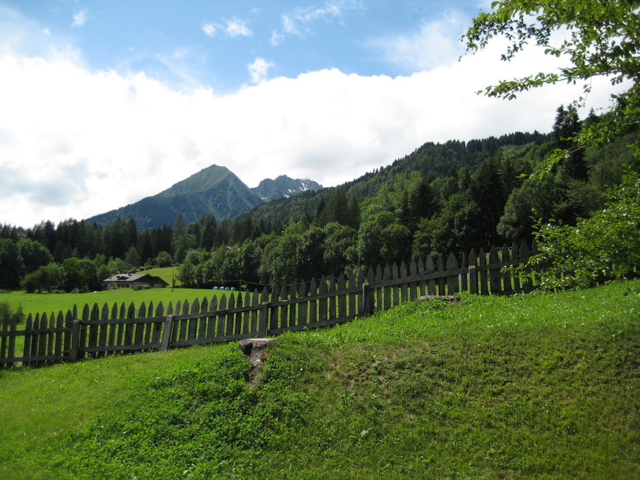
Tag 2 7. Juli 2009: Male – Chalet Maso Doss (südlich von Madonna di Campiglio), 32 Km, 1210 hm
Sehr sehr schlechtes Wetter: Regen, Regen und oberhalb von 2300 Meter..Schnee.
Wetterbedingt eine mental schwere Etappe.
Beim Campo Carlo Magno in Madonna di C. hat der Verstand uns gesagt das es kein Zweck hat bis zum "Dach" der Tour hochzukraxeln, oben hats geschneit und mann hatte nur wenig Sicht durch den Nebel. Das Rifugio Graffer (fast 2300m) besuchen wir dann ein anderes Mal. Wir haben uns so um die 700 HM "gespart", obwohl wir das nicht so empfunden haben durch die Kälte.
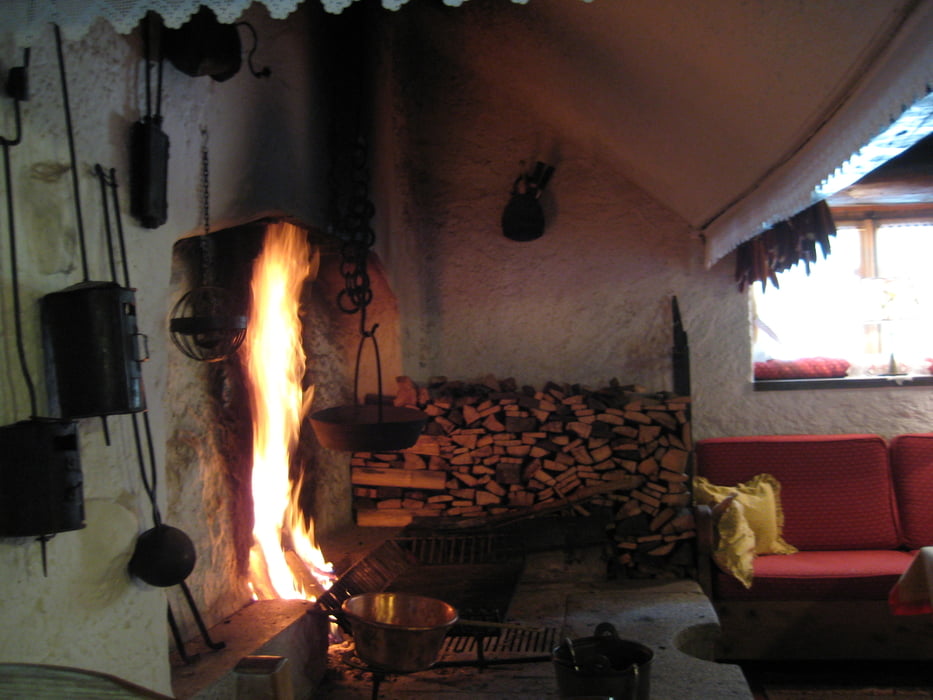
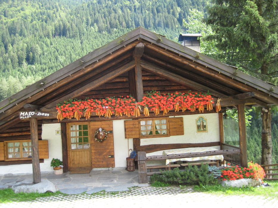
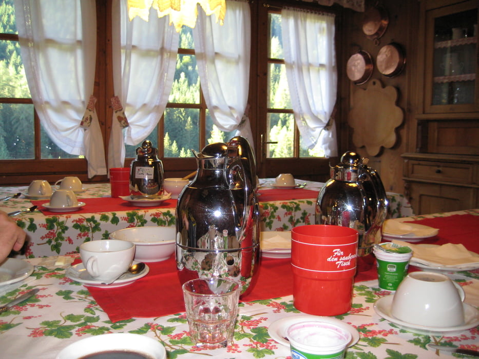
Nachmittags dann die positive Überraschung das Chalet Maso Doss präsentierte sich als ein wares Refugium. Sehr gute Küche, kein Fernseher, Gletscherblick, sehr warme, urige Atmosphäre. Infos hier: www.masodoss.com
Further information at
http://www.dolomitibrentabike.itTour gallery
Tour map and elevation profile
Minimum height 707 m
Maximum height 1659 m
More about the tour author

|
luxgps |
Comments

GPS tracks
Trackpoints-
GPX / Garmin Map Source (gpx) download
-
TCX / Garmin Training Center® (tcx) download
-
CRS / Garmin Training Center® (crs) download
-
Google Earth (kml) download
-
G7ToWin (g7t) download
-
TTQV (trk) download
-
Overlay (ovl) download
-
Fugawi (txt) download
-
Kompass (DAV) Track (tk) download
-
Track data sheet (pdf) download
-
Original file of the author (gpx) download
More about the tour author
|
|
luxgps |
Add to my favorites
Remove from my favorites
Edit tags
Open track
My score
Rate