Login

Forgot your login?

Cookies have to be accepted!
Your browser's cookie functionality is disabled. Please enable this functionality.

Not a member yet?

Register now
Login

Available for registred users only

Log in to use this feature.

Forgot your login?

Cookies have to be accepted!
Your browser's cookie functionality is disabled. Please enable this functionality.

Not a member yet?

Register now
Filter
Categories
Advanced filters
  • Distance (km)
  • Height
Save filters Reset filter

TrackRank

QRCode

Technical data

Distance378,8 km Height12982 m Way down12364 m Duration1 day 11 h Date17.10.2009
Scores Author Landscape Fun factor Fitness Technique

Statistics

4176 Views Scores 541 Downloads Average
Rate
  • Track data sheet
  • Directions
  • Downloads

Mountainbike-Transalp von Oberstdorf nach Riva a. Gardasee

Über Schrofenpass, Schlappiner Joch, Kristbergsattel, Davos, Scaletta-Pass, Pass Chachauna nach Livignio. Über Passo Alpisella zum Gardasee. 6 Etappen  

Further information at
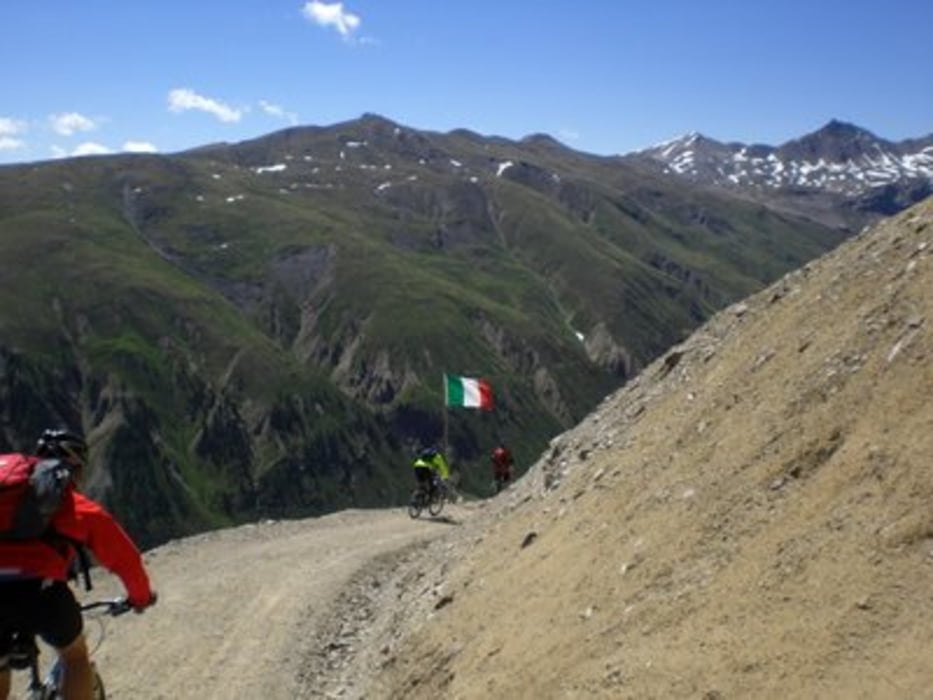
http://www.gerschder.de/

Tour gallery

Tour map and elevation profile

  • Open Street Map
  • Google
Minimum height 663 m Maximum height 2690 m Detailed view

More about the tour author

gerschderle
Member since 2008

Send private message

Comments

GPS tracks

Trackpoints
  • GPX / Garmin Map Source (gpx) download
  • TCX / Garmin Training Center® (tcx) download
  • CRS / Garmin Training Center® (crs) download
  • Google Earth (kml) download
  • G7ToWin (g7t) download
  • TTQV (trk) download
  • Overlay (ovl) download
  • Fugawi (txt) download
  • Kompass (DAV) Track (tk) download
  • Track data sheet (pdf) download
  • Original file of the author (gpx) download

More about the tour author

gerschderle
Member since 2008

Send private message
Share track
Add to my favorites
Remove from my favorites
Edit tags
My score
Rate
Track: Transalp von Oberstdorf zum Gardasee
Type: Mountain bike
Distance: 378,8 km
Evaluated on:
Duration:
Day(s)
Hour(s)
Minute(s)
Score: Landscape Fun factor Fitness Technique