


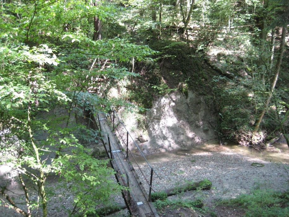
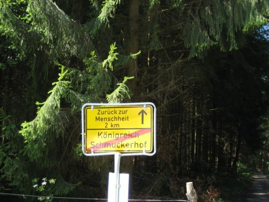
Wir starten in Schmalegg, dem nordwestlichsten Ortsteil von Ravensburg. Nach nur wenigen Metern steigen wir bereits ab in den Schmalegger Tobel, überqueren diesen und steigen wieder bergauf zum "Königreich Schmucker" wo wir lediglich auf einen einsamen Bauernhof stossen.
Wir verlassen das "Königreich" in westlicher Richtung und gehen an der grossen Abzweigung Richtung Jägerhaus / Mühlsteig, wo man in der kleinen Sportgaststätte gemütlich einkehren kann.
Vorbei am Sportplatz gehen wir nun Richtung Kübler und Luss und entlang der K 7975 auf dem Geh- und Radweg zurück nach Schmalegg.
Tour gallery

Tour map and elevation profile
Minimum height 504 m
Maximum height 621 m
More about the tour author
|
|
verm |
Comments

Schmalegg liegt etwa 10 km nordwestlich von Ravensburg.
GPS tracks
Trackpoints-
GPX / Garmin Map Source (gpx) download
-
TCX / Garmin Training Center® (tcx) download
-
CRS / Garmin Training Center® (crs) download
-
Google Earth (kml) download
-
G7ToWin (g7t) download
-
TTQV (trk) download
-
Overlay (ovl) download
-
Fugawi (txt) download
-
Kompass (DAV) Track (tk) download
-
Track data sheet (pdf) download
-
Original file of the author (gpx) download
More about the tour author
|
|
verm |
Add to my favorites
Remove from my favorites
Edit tags
Open track
My score
Rate