Login

Forgot your login?

Cookies have to be accepted!
Your browser's cookie functionality is disabled. Please enable this functionality.

Not a member yet?

Register now
Login

Available for registred users only

Log in to use this feature.

Forgot your login?

Cookies have to be accepted!
Your browser's cookie functionality is disabled. Please enable this functionality.

Not a member yet?

Register now
Filter
Categories
Advanced filters
  • Distance (km)
  • Height
Save filters Reset filter

TrackRank

QRCode

Technical data

Distance6,2 km Height100 m Way down95 m Duration01:00 h:m Date11.08.2006
Scores Author User Landscape Fun factor Fitness Technique

Statistics

815 Views 1 Score 50 Downloads 3.00 Average
Rate
  • Track data sheet
  • Directions
  • Downloads
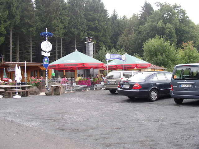
Eine leichte Runde um den Gräbersberg beginnt auf dem Parkplatz oberhalb Alpenrod. Sie führt zuerst auf asphaltiertem Weg rechts am Waldrand entlang, dann auf Schotter- und Waldwegen über den Gehlerten Bach bis zum Europäischen Fernwanderweg E1 und schließlich zu den Windrädern und dem Aussichtsturm mit Gastronomie.

Tour gallery

Tour map and elevation profile

  • Open Street Map
  • Google
Minimum height 446 m Maximum height 514 m Detailed view

More about the tour author

Rudi27
Member since 2005

Send private message

Comments

Scherlock on 05.02.2017

nette Runde

Ganz entspannter Spaziergang mit bissl Abwechslung: Pferde, Bachläufe, Laub- und Nadelwald sowie einige Windräder ganz in der Nähe. Wers braucht (oder mag) kann auch in der Alpenroder-Hütte einkehren oder den Aussichtsturm besteigen - empfehlenswert - danke für diese Tour!
Von der B 255 in Langenhahn auf die L 281 Richtung Hachenburg und durch Alpenrod aufwärts zum Aussichtsturm.(200m unterhalb des Turmes liegt der Parkplatz mit Orientierungsschild)

GPS tracks

Trackpoints
  • GPX / Garmin Map Source (gpx) download
  • TCX / Garmin Training Center® (tcx) download
  • CRS / Garmin Training Center® (crs) download
  • Google Earth (kml) download
  • G7ToWin (g7t) download
  • TTQV (trk) download
  • Overlay (ovl) download
  • Fugawi (txt) download
  • Kompass (DAV) Track (tk) download
  • Track data sheet (pdf) download

More about the tour author

Rudi27
Member since 2005

Send private message
Share track
Add to my favorites
Remove from my favorites
Edit tags
My score
Rate
Track: Alpenrod Schönhals-Weg
Type: Nordic Walking
Distance: 6,2 km
Evaluated on:
Duration:
Day(s)
Hour(s)
Minute(s)
Score: Landscape Fun factor Fitness Technique