Login

Forgot your login?

Cookies have to be accepted!
Your browser's cookie functionality is disabled. Please enable this functionality.

Not a member yet?

Register now
Login

Available for registred users only

Log in to use this feature.

Forgot your login?

Cookies have to be accepted!
Your browser's cookie functionality is disabled. Please enable this functionality.

Not a member yet?

Register now
Filter
Categories
Advanced filters
  • Distance (km)
  • Height
Save filters Reset filter

TrackRank

QRCode

Technical data

Distance34,8 km Height393 m Way down2022 m Duration03:15 h:m Date20.10.2009
Scores Author User Landscape Fun factor Fitness Technique

Statistics

1885 Views 2 Scores 489 Downloads 4.00 Average
Rate
  • Track data sheet
  • Directions
  • Downloads

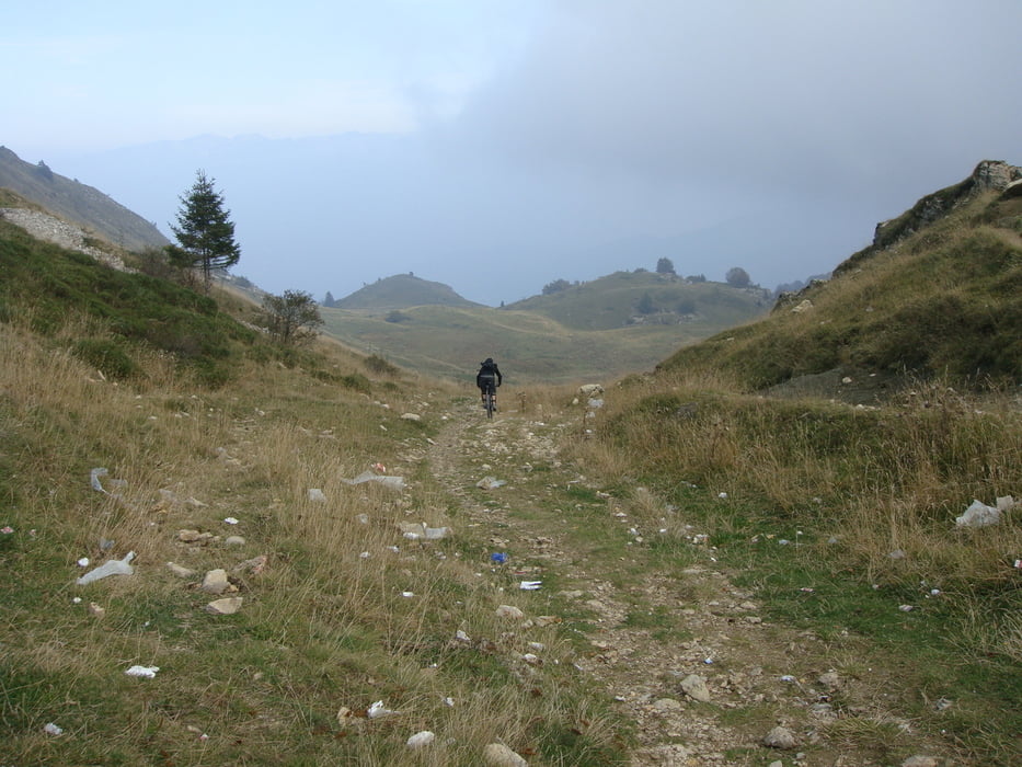
Die Tour startet in Malcesine und geht mit der Seilbahn auf 1750 HM.

(kleiner Tip: rechtzeit dasein- da die Ggondel nur vormittags bis ca. 10:15 Uhr Biker mitnimmt und erst dann am Nachmittag wieder).

Die Tour geht gegen den Uhrzeiger Sinn um den Monte Baldo und endet in Torbole.

Die Fahrt auf der Uferstrasse von Torbole nach Malcesine haben wir uns gespart und liessen ein Auto in Torbole zurueck.


Tour gallery

Tour map and elevation profile

  • Open Street Map
  • Google
Minimum height 81 m Maximum height 1778 m Detailed view

More about the tour author

HANSALP
Member since 2008

Send private message

Comments

Startpunkt: Liftstation Malcesine.


GPS tracks

Trackpoints
  • GPX / Garmin Map Source (gpx) download
  • TCX / Garmin Training Center® (tcx) download
  • CRS / Garmin Training Center® (crs) download
  • Google Earth (kml) download
  • G7ToWin (g7t) download
  • TTQV (trk) download
  • Overlay (ovl) download
  • Fugawi (txt) download
  • Kompass (DAV) Track (tk) download
  • Track data sheet (pdf) download
  • Original file of the author (gpx) download

More about the tour author

HANSALP
Member since 2008

Send private message
Share track
Add to my favorites
Remove from my favorites
Edit tags
My score
Rate
Track: Monte Baldo Nord-Tour
Type: Mountain bike
Distance: 34,8 km
Evaluated on:
Duration:
Day(s)
Hour(s)
Minute(s)
Score: Landscape Fun factor Fitness Technique