
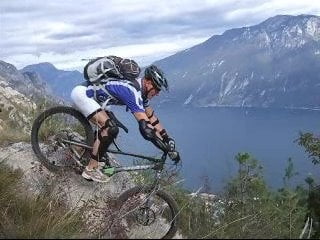

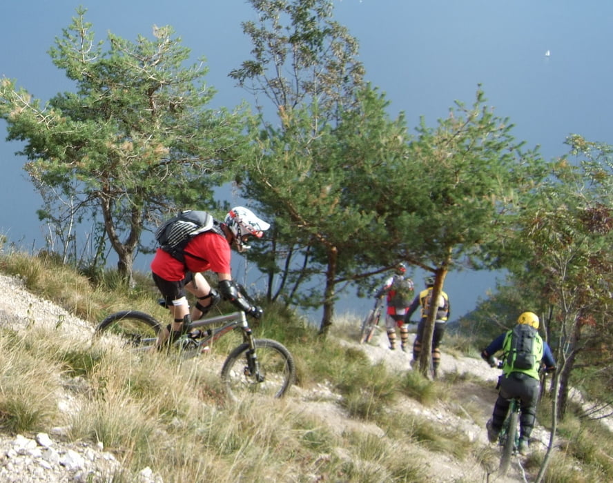
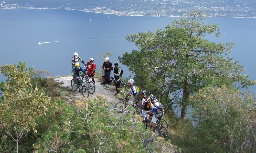
Salita da Limone del Garda (60 m) fino a Vesio (600m) su asfalto e discesa fino ad imboccare il sentiero 218. Si tratta di un percorso militare molto suggestivo con gallerie e tratti esposti.Da Bocca Fobia scenderemo nella Val di Fobia fino ad immetterci nella sterrata dellaVal di Bondo che risaliremo fino al Passo Nota. Da qui inizieremo ladiscesa su una strada bianca veloce e scassata (sv 121) per poi immetterci nella mitica 112, discesone molto esposto è pericoloso, tecnicamente si parla di un S5, protezioni obbligatorie.
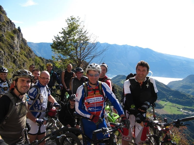
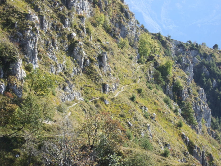
Tour gallery
Tour map and elevation profile
Minimum height 74 m
Maximum height 1350 m
More about the tour author

|
Silvia_Arno |
Comments

Brescia - Salo - Limone
GPS tracks
Trackpoints-
GPX / Garmin Map Source (gpx) download
-
TCX / Garmin Training Center® (tcx) download
-
CRS / Garmin Training Center® (crs) download
-
Google Earth (kml) download
-
G7ToWin (g7t) download
-
TTQV (trk) download
-
Overlay (ovl) download
-
Fugawi (txt) download
-
Kompass (DAV) Track (tk) download
-
Track data sheet (pdf) download
-
Original file of the author (gpx) download
More about the tour author
|
|
Silvia_Arno |
Add to my favorites
Remove from my favorites
Edit tags
Open track
My score
Rate