


Schöne Tour mit alpinen Charakter.
Start: Vom Parkplatz an der A82 zunächst nach SO bergab.
Man überquert über eine Brücke den River Coe (Wp1).
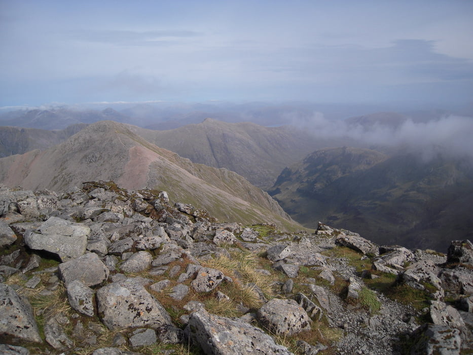
Nun stetig bergauf,in SW Richtung, bis zu einem Sattel(Bild1+WP2). Ab hier herrliche Rundblicke.
Nun weiter den Kammweg in nordwestlicher Richtung bis zum Gipfel des Bidean nam Bian. Von hieraus erkennt man in NO den weiterführenden Weg zum Gipfel des Stob Coire nan Lochan (Bild2).
Vom Gipfel nach NW berab, dann nach N bis zu einem Sattel (Trittsicherheit). Nun nach W bis zum Talgrund des Coire nan Lochan (WP3). Ab jetzt NO weiter auf Pfad bis zum Ausgangspunkt.
Empfehlenswerte Topo Karte: Harvey Blatt Glen Coe and Black Mount 1:25000.
Tour gallery

Tour map and elevation profile
Minimum height 126 m
Maximum height 1153 m
More about the tour author
|
|
hummel |
Comments

GPS tracks
Trackpoints-
GPX / Garmin Map Source (gpx) download
-
TCX / Garmin Training Center® (tcx) download
-
CRS / Garmin Training Center® (crs) download
-
Google Earth (kml) download
-
G7ToWin (g7t) download
-
TTQV (trk) download
-
Overlay (ovl) download
-
Fugawi (txt) download
-
Kompass (DAV) Track (tk) download
-
Track data sheet (pdf) download
-
Original file of the author (gpx) download
More about the tour author
|
|
hummel |
Add to my favorites
Remove from my favorites
Edit tags
Open track
My score
Rate