


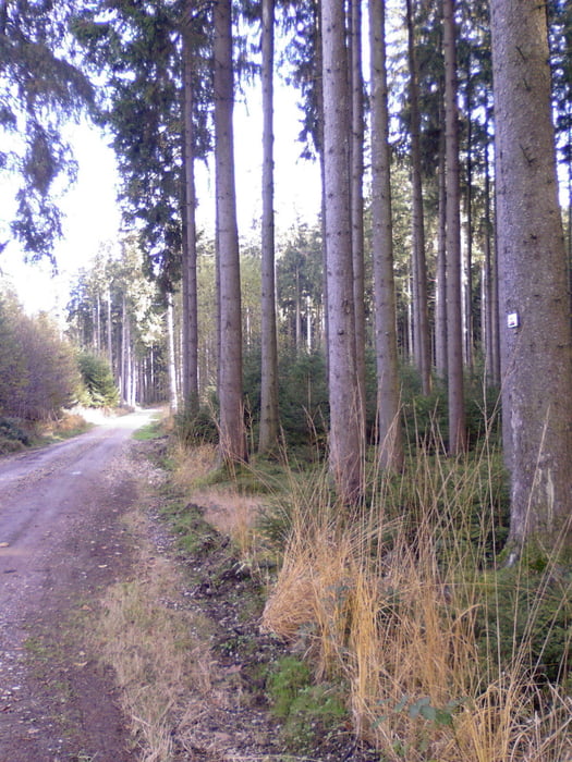
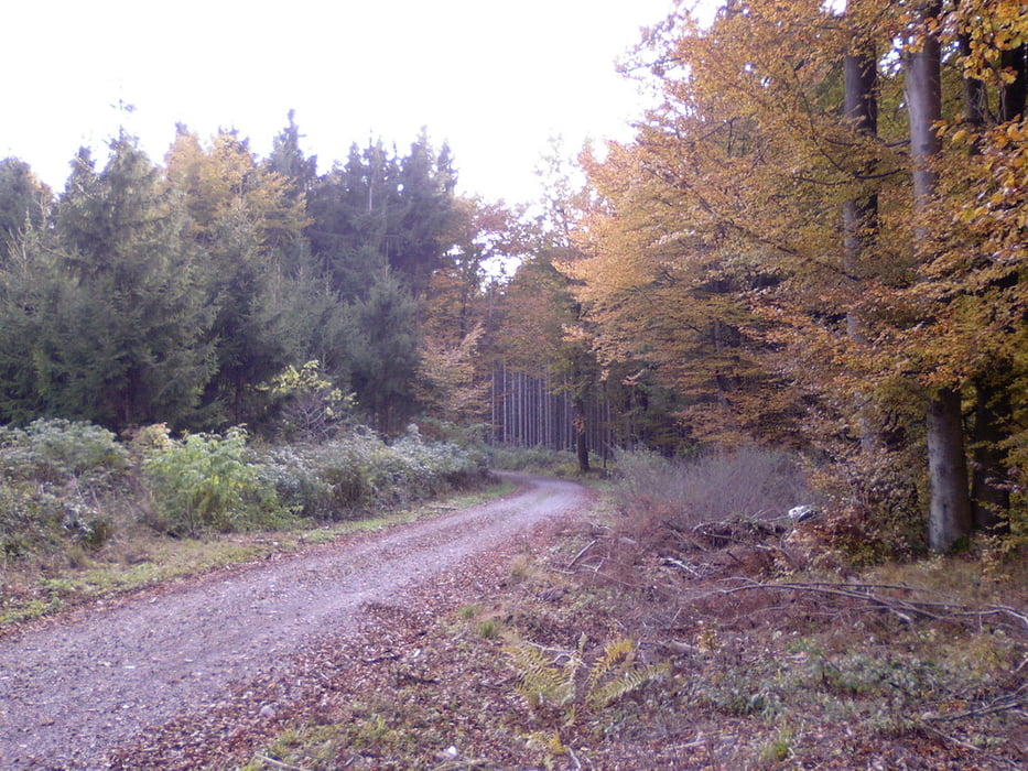
Start in Steinberg. Dem HW4 (roter waagrechter Balken ab Oberweiler so ungefähr folgen. Der Weg führt auf dem westlichen Höhenrücken entlang des Illertals fast immer im Wald Richtung Süden bis Erolzheim. Von dort quert man das Illertal und sucht ab Kellmünz den gegenüberliegenden Höhenrücken, ebenfalls mit Wald auf. Dort ist der Wald aber nicht durchgehend und so sieht man eher etwas von der Landschaft.
Ab Jedesheim wird's flach und an der Iller entlang geht es nach Norden bis Regglisweiler. Ab Wangen geht es zurück, wieder auf einem Stück des HW4 bis Dorndorf und Steinberg.
Wenn die Forstwege, über die es zu 80 % geht, nass sind, dann kann es auch etwas schmutzig sein.
Tour gallery

Tour map and elevation profile
Minimum height 494 m
Maximum height 631 m
More about the tour author
|
|
painfully58 |
Comments

GPS tracks
Trackpoints-
GPX / Garmin Map Source (gpx) download
-
TCX / Garmin Training Center® (tcx) download
-
CRS / Garmin Training Center® (crs) download
-
Google Earth (kml) download
-
G7ToWin (g7t) download
-
TTQV (trk) download
-
Overlay (ovl) download
-
Fugawi (txt) download
-
Kompass (DAV) Track (tk) download
-
Track data sheet (pdf) download
-
Original file of the author (gpx) download
More about the tour author
|
|
painfully58 |
Add to my favorites
Remove from my favorites
Edit tags
Open track
My score
Rate