Login

Forgot your login?

Cookies have to be accepted!
Your browser's cookie functionality is disabled. Please enable this functionality.

Not a member yet?

Register now
Login

Available for registred users only

Log in to use this feature.

Forgot your login?

Cookies have to be accepted!
Your browser's cookie functionality is disabled. Please enable this functionality.

Not a member yet?

Register now
Filter
Categories
Advanced filters
  • Distance (km)
  • Height
Save filters Reset filter

TrackRank

QRCode

Technical data

Distance67,4 km Height1579 m Way down1572 m Duration05:00 h:m Date29.10.2009
Scores Author Landscape Fun factor Fitness Technique

Statistics

647 Views Scores 102 Downloads Average
Rate
  • Track data sheet
  • Directions
  • Downloads

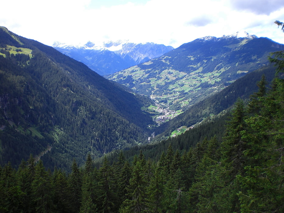
Schöne Tagestour von Bürs durchs Klostertal hinüber ins Silbertal. 100 Prozent fahrbar auf größtenteils Teer und Schotterpisten. Schöne Abfahrt vom Sattelkopf hinunter ins Wasserstubental. Gemütliche Einkehrmöglichkeiten am Kristbergsattel.

Tour gallery

Tour map and elevation profile

  • Open Street Map
  • Google
Minimum height 537 m Maximum height 1830 m Detailed view

More about the tour author

Schnapserl
Member since 2009

Send private message

Comments

GPS tracks

Trackpoints
  • GPX / Garmin Map Source (gpx) download
  • TCX / Garmin Training Center® (tcx) download
  • CRS / Garmin Training Center® (crs) download
  • Google Earth (kml) download
  • G7ToWin (g7t) download
  • TTQV (trk) download
  • Overlay (ovl) download
  • Fugawi (txt) download
  • Kompass (DAV) Track (tk) download
  • Track data sheet (pdf) download
  • Original file of the author (gpx) download

More about the tour author

Schnapserl
Member since 2009

Send private message
Share track
Add to my favorites
Remove from my favorites
Edit tags
My score
Rate
Track: Bürs-Sonnenkopf-Kristbergsattel
Type: Mountain bike
Distance: 67,4 km
Evaluated on:
Duration:
Day(s)
Hour(s)
Minute(s)
Score: Landscape Fun factor Fitness Technique