Login

Forgot your login?

Cookies have to be accepted!
Your browser's cookie functionality is disabled. Please enable this functionality.

Not a member yet?

Register now
Login

Available for registred users only

Log in to use this feature.

Forgot your login?

Cookies have to be accepted!
Your browser's cookie functionality is disabled. Please enable this functionality.

Not a member yet?

Register now
Filter
Categories
Advanced filters
  • Distance (km)
  • Height
Save filters Reset filter

TrackRank

QRCode

Technical data

Distance33,7 km Height422 m Way down414 m Duration01:45 h:m Date31.10.2009
Scores Author Landscape Fun factor Fitness Technique

Statistics

731 Views 1 Score 128 Downloads 4.00 Average
Rate
  • Track data sheet
  • Directions
  • Downloads
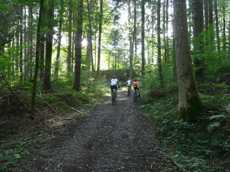
Schöne Runde ohne große Anstiege von Ratzenried aus über Schurtannen streifen wir Kisslegg, fahren am Argensee vorbei und unterhalb des Heiligen Steins vorbei nach Waltershofen, noch eine kurze Abfahrt nach Wengen und dann zurück nach Ratzenried.

Tour map and elevation profile

  • Open Street Map
  • Google
Minimum height 540 m Maximum height 696 m Detailed view

More about the tour author

Rasch
Member since 2008

Send private message

Comments

GPS tracks

Trackpoints
  • GPX / Garmin Map Source (gpx) download
  • TCX / Garmin Training Center® (tcx) download
  • CRS / Garmin Training Center® (crs) download
  • Google Earth (kml) download
  • G7ToWin (g7t) download
  • TTQV (trk) download
  • Overlay (ovl) download
  • Fugawi (txt) download
  • Kompass (DAV) Track (tk) download
  • Track data sheet (pdf) download
  • Original file of the author (gpx) download

More about the tour author

Rasch
Member since 2008

Send private message
Share track
Add to my favorites
Remove from my favorites
Edit tags
My score
Rate
Track: Herbsttour 2 Bike-Team Ratzenried
Type: Mountain bike
Distance: 33,7 km
Evaluated on:
Duration:
Day(s)
Hour(s)
Minute(s)
Score: Landscape Fun factor Fitness Technique