


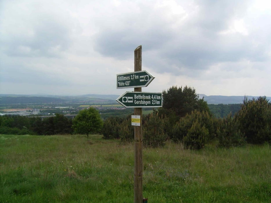
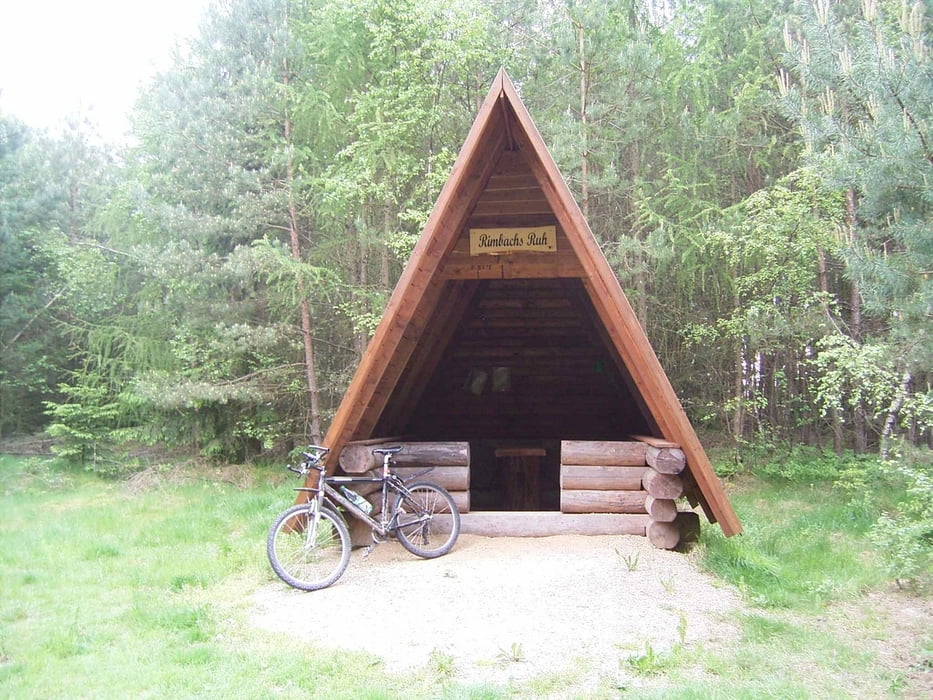
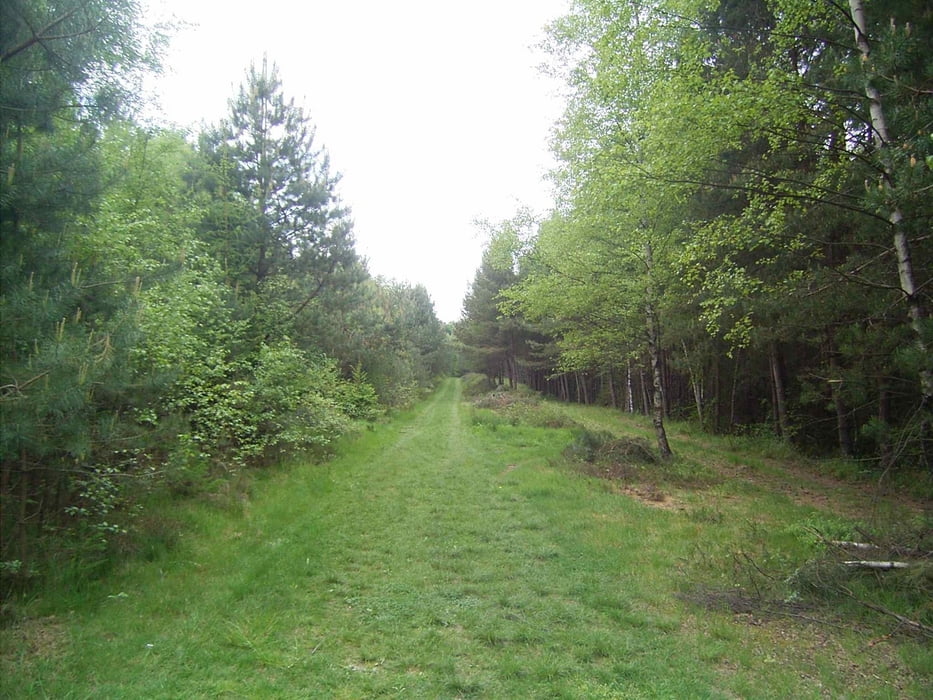
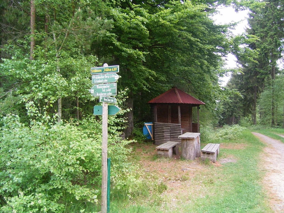
Eine kurze und knackige MTB-Tour. Start ist in Obersuhl nach Untersuhl und dann über Feldwege unter der großen Autobahnbrücke in Richtung Fuldaischer Berg. Hier geht's ordentlich Bergauf. Oben auf dem Fuldaischen Berg das "Grüne Band" weiterfahren über die Schutzhütte "Rimbachs Ruh" bis zu der Kreuzung "Stillmes - 420 m" hier den Plattenweg zurück über Gerstungen nach Obersuhl. Diese Tour kann auch mit anderen Kohlbachtaltouren zu einem großen Rundkurs erweitert werden. Auf dem Rückweg empfiehlt sich eine Rast in dem schönen "Cafe Topp" - hier lohnt sich eine Rast!
Tour gallery
Tour map and elevation profile
Minimum height 210 m
Maximum height 426 m
More about the tour author
|
|
mweber |
Comments

Obersuhl Ortsmitte.
GPS tracks
Trackpoints-
GPX / Garmin Map Source (gpx) download
-
TCX / Garmin Training Center® (tcx) download
-
CRS / Garmin Training Center® (crs) download
-
Google Earth (kml) download
-
G7ToWin (g7t) download
-
TTQV (trk) download
-
Overlay (ovl) download
-
Fugawi (txt) download
-
Kompass (DAV) Track (tk) download
-
Track data sheet (pdf) download
-
Original file of the author (gpx) download
More about the tour author
|
|
mweber |
Add to my favorites
Remove from my favorites
Edit tags
Open track
My score
Rate