


Hallo zusammen.
Hier mal eine Runde dich ich selber hier gefunden habe und zum Großteil auch mit der Route übereinstimmt.
www.gps-tour.info/de/touren/detail.47481.html
Start und Stop ist in Sulzfeld bei Eppingen.
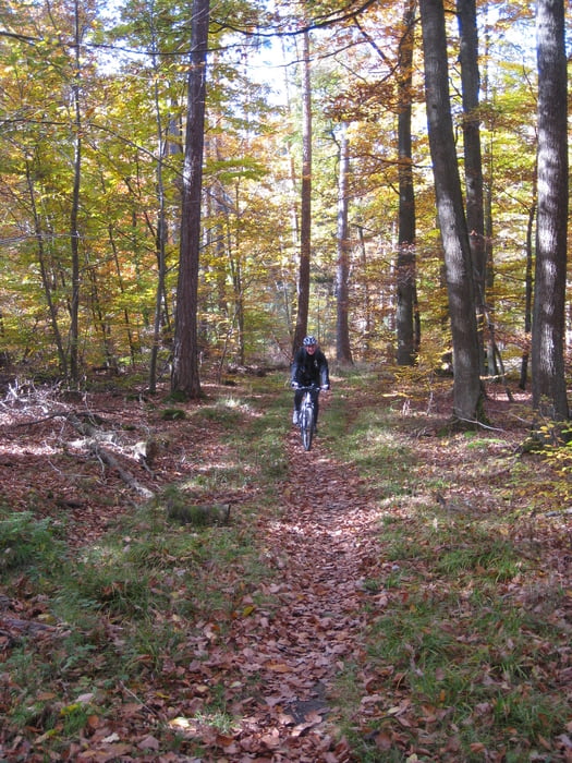
Die Tour führt einmal quer durch den Naturpark Stromberg Heuchelberg und bietet alles was ein MTB'ler braucht.
Von vielen Waldautobahnen zu wunderschönen Trails und schönen Aussichten durch die Weinberge.
Von der Audauer habe ich jetzt ein 4 gegeben. Falls man es in 4 Stunden fahren will ist es ne 5 und in 5 bis 6 Stunden eine 3.
Je nach dem wie man es will.
Further information at
/en/tracks/detail.47481.htmlTour gallery
Tour map and elevation profile
Minimum height 180 m
Maximum height 487 m
More about the tour author

|
godofglow |
Comments

GPS tracks
Trackpoints-
GPX / Garmin Map Source (gpx) download
-
TCX / Garmin Training Center® (tcx) download
-
CRS / Garmin Training Center® (crs) download
-
Google Earth (kml) download
-
G7ToWin (g7t) download
-
TTQV (trk) download
-
Overlay (ovl) download
-
Fugawi (txt) download
-
Kompass (DAV) Track (tk) download
-
Track data sheet (pdf) download
-
Original file of the author (gpx) download
More about the tour author
|
|
godofglow |
Add to my favorites
Remove from my favorites
Edit tags
Open track
My score
Rate