


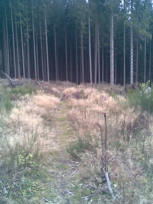
Die Tour ist eine einfachere Variante einer bereits bestehenden Tour und startet in Olpe-Lüttringhausen. Wir folgen dem Radweg im Tal in Richtung Rehringhausen und danach weiter über Fahlenscheid und Einsiedelei zur Hohen Bracht. Hier folgen wir dem legendären Trail hinunter in Richtung Bonzel. Von dort aus geht es auf dem ausgeschilderten Radweg das Veischedetal hinauf.
Vor Bruchhausen biegen wir rechts ab, berauf in Richtung Tecklinghausen und folgen nun dem Franzosenweg zurück nach Olpe zum Ausgangspunkt.
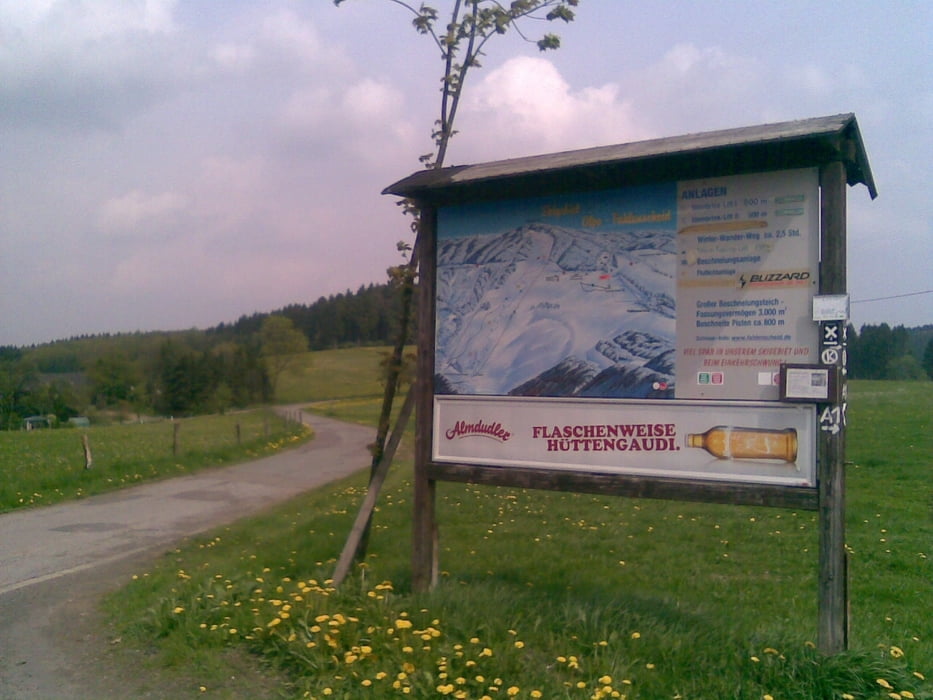
Tour gallery
Tour map and elevation profile
Minimum height 267 m
Maximum height 605 m
More about the tour author
|
|
chrischulte |
Comments

GPS tracks
Trackpoints-
GPX / Garmin Map Source (gpx) download
-
TCX / Garmin Training Center® (tcx) download
-
CRS / Garmin Training Center® (crs) download
-
Google Earth (kml) download
-
G7ToWin (g7t) download
-
TTQV (trk) download
-
Overlay (ovl) download
-
Fugawi (txt) download
-
Kompass (DAV) Track (tk) download
-
Track data sheet (pdf) download
-
Original file of the author (gpx) download
More about the tour author
|
|
chrischulte |
Add to my favorites
Remove from my favorites
Edit tags
Open track
My score
Rate