


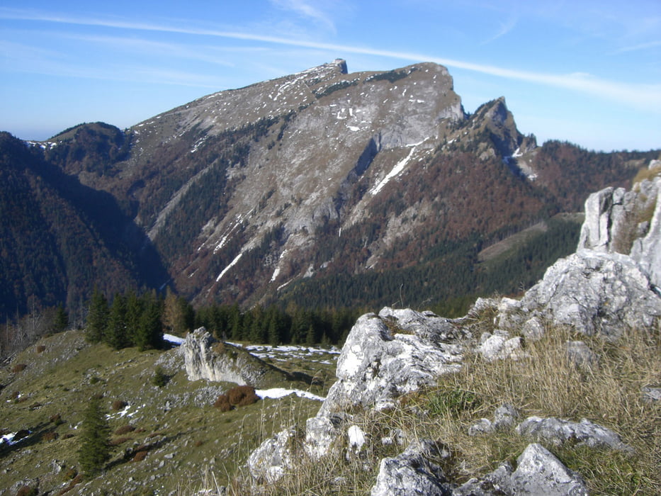
Jausenstation Holzerbauer und weiter auf bequemen Weg in Richtung Schwarzensee bis zur Mauruskapelle (bis hierher Wegnummer 28). Hier zweigt man links ab und steigt durch steiles Waldgelände zur schön gelegenen Sommeraualm hinauf. Weggabelung Sommeraustein rechts Steinmandl Makierung grün zum Sommeraustein oder Vormauer links normale Makierung. Weiter geht es einen Sattel hinauf und durch Wald bei einer Quelle vorbei flach zu den Hütten der Vormaueralm. Von hier wird der felsige Vormauergipfel auf schmalem Steig in 15 Minuten erstiegen werden. Eine besonders schöne Aussicht belohnt die kurze Mühe
Further information at
http://www.doris.ooe.gv.at/mobile/almanach/almen.php?AlmId=68Tour gallery


Tour map and elevation profile
Minimum height 653 m
Maximum height 1464 m
More about the tour author
|
|
kaiser630 |
Comments

St. Wofgang - Wurzelschnitzer
GPS tracks
Trackpoints-
GPX / Garmin Map Source (gpx) download
-
TCX / Garmin Training Center® (tcx) download
-
CRS / Garmin Training Center® (crs) download
-
Google Earth (kml) download
-
G7ToWin (g7t) download
-
TTQV (trk) download
-
Overlay (ovl) download
-
Fugawi (txt) download
-
Kompass (DAV) Track (tk) download
-
Track data sheet (pdf) download
-
Original file of the author (gpx) download
More about the tour author
|
|
kaiser630 |
Add to my favorites
Remove from my favorites
Edit tags
Open track
My score
Rate