


Kommend aus Richtung Bischofsheim (Hochrhönstrasse Richtung Fladungen) geht es vom Holzberger Parkplatz auf dem Mountainbikeweg Richtung Heidelstein. Unterhalb des Steinkopfes und des Stirnberges geht es über der Thüringer Hütte zum Schweinfurter Haus.
Vom Schweinfurter Haus geht es um den Gangolfsberg auf dem Wanderweg 6 und MTB-Route Richtung Basaltsee. Man muß ein kleines Stück 2-3km auf der Landstrasse (ST2286 Franzosenweg) hinauf, ehe die Abbiegung rechte Hand zum Basaltsee kommt.
Am Basaltsee angekommen, gönnt man sich (solange kein Schnee liegt) am Kiosk einen kleinen/großen Snack.
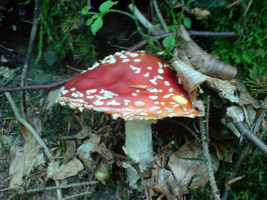
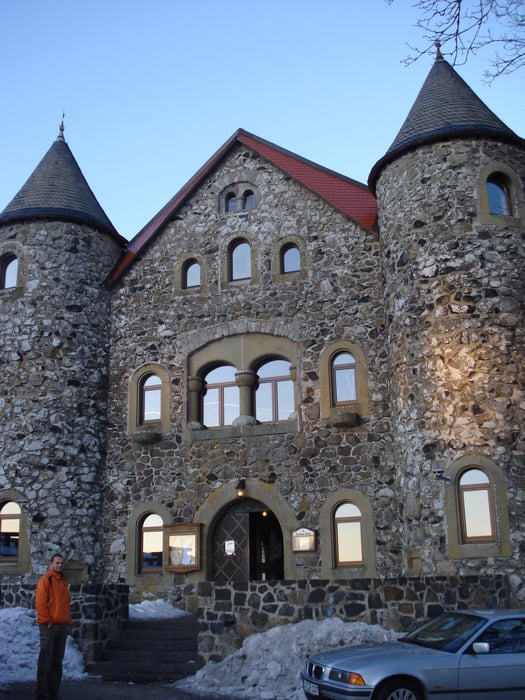
Tour gallery
Tour map and elevation profile
Minimum height 535 m
Maximum height 932 m
More about the tour author
|
|
Flitzer |
Comments

GPS tracks
Trackpoints-
GPX / Garmin Map Source (gpx) download
-
TCX / Garmin Training Center® (tcx) download
-
CRS / Garmin Training Center® (crs) download
-
Google Earth (kml) download
-
G7ToWin (g7t) download
-
TTQV (trk) download
-
Overlay (ovl) download
-
Fugawi (txt) download
-
Kompass (DAV) Track (tk) download
-
Track data sheet (pdf) download
-
Original file of the author (gpx) download
More about the tour author
|
|
Flitzer |
Add to my favorites
Remove from my favorites
Edit tags
Open track
My score
Rate