

Startpunkt ist Hausen bei Schweinfurt.
In Hausen am Sportplatz angekommen geht es erstmal durch Hausen durch den Wald in Richtung Marktsteinach. Dann gehts es durch Marktsteinach hoch auf ca. 480 hm, weiter durch den Wildenstallgrund zurück oberhalb von Marktsteinach auf ca. 500 hm.
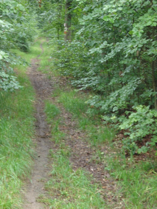
Dann geht es weiter Richtung Steinbruch quer durch den Wald über Waldwegen und Trails zurück in Richtung Hausen.
Zum Schluß kommt noch ein Leckerbissen, es geht nochmal kurz hoch zu einem Antennenmast und dann hinunter nach Hausen.
Tour map and elevation profile
Minimum height 298 m
Maximum height 495 m
More about the tour author
|
|
Flitzer |
Comments

GPS tracks
Trackpoints-
GPX / Garmin Map Source (gpx) download
-
TCX / Garmin Training Center® (tcx) download
-
CRS / Garmin Training Center® (crs) download
-
Google Earth (kml) download
-
G7ToWin (g7t) download
-
TTQV (trk) download
-
Overlay (ovl) download
-
Fugawi (txt) download
-
Kompass (DAV) Track (tk) download
-
Track data sheet (pdf) download
-
Original file of the author (gpx) download
More about the tour author
|
|
Flitzer |
Add to my favorites
Remove from my favorites
Edit tags
Open track
My score
Rate