

La salita è dura a causa delle pendenze importanti, si sale prevalentemente su strade secondaria, sentieri e strade sterrate.
La discesa è veramente bella, molto tecnica ma mai estrema,i sentieri possono essere un po’ nascoste a causa delle foglie in autunno. Meglio affrontare la discesa con il gps con la traccia pre caricata o con un local che conosce i sentieri.
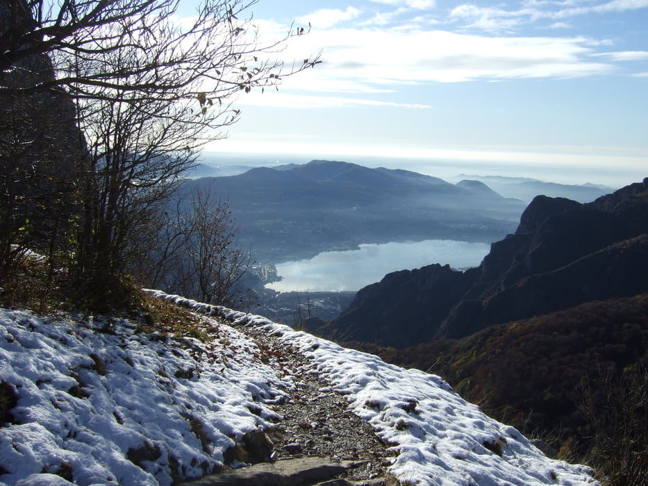
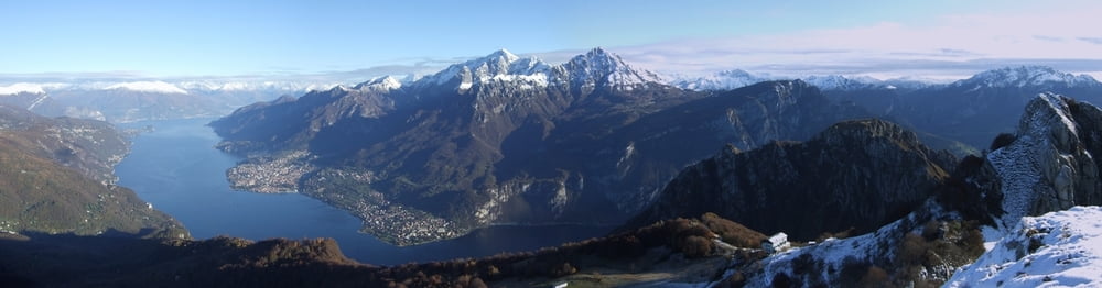
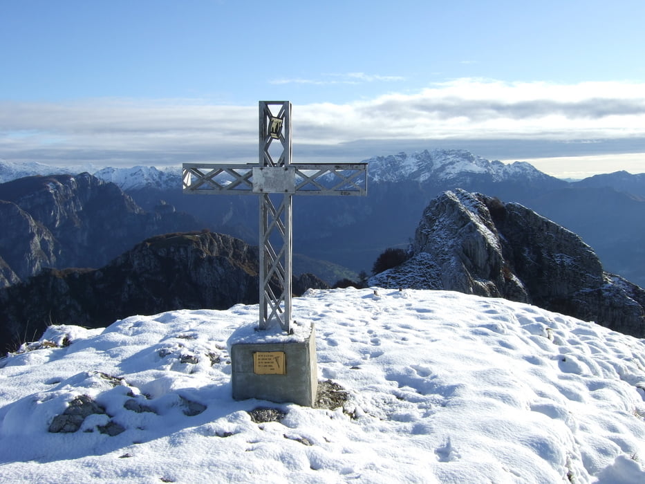
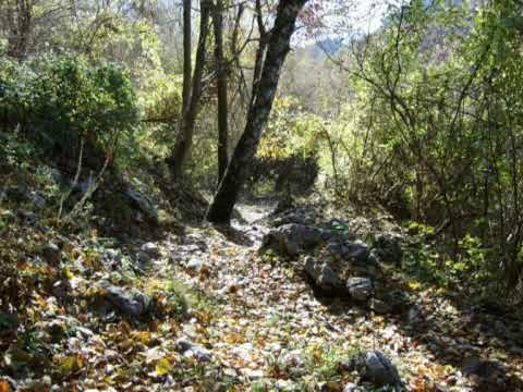
Tour gallery


Tour map and elevation profile
Minimum height 224 m
Maximum height 1374 m
More about the tour author

|
Silvia_Arno |
Comments

da milano prendere la superstrada per lecco, uscire a Cairolo, io sono partito da Suello.
GPS tracks
Trackpoints-
GPX / Garmin Map Source (gpx) download
-
TCX / Garmin Training Center® (tcx) download
-
CRS / Garmin Training Center® (crs) download
-
Google Earth (kml) download
-
G7ToWin (g7t) download
-
TTQV (trk) download
-
Overlay (ovl) download
-
Fugawi (txt) download
-
Kompass (DAV) Track (tk) download
-
Track data sheet (pdf) download
-
Original file of the author (gpx) download
More about the tour author
|
|
Silvia_Arno |
Add to my favorites
Remove from my favorites
Edit tags
Open track
My score
Rate