


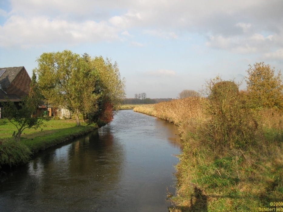
Eine schöne Tour zum Herbst in den "platten"Niederrhein. Wir haben einfach mal geschaut, ob wir noch ein paar unbekannte Wege erforschen konnten. Dabei haben wir gerade in der Gegend von Grefrath fast nur asphaltierte Wege angetroffen. Nachdem sich die Mittagswolken verzogen hatten, lohnte sich noch ein kleiner Abstecher in das neu gestaltete Vogelschutz- und beobachtungsgebiet zwischen Leuther Mühle und DeWittsee.
Insgesamt eine schöne Runde - leider wird es zu dieser Jahreszeit einfach zu früh dunkel. Ansonsten hätte sich der Abstecher nach Wachtendonk noch gelohnt.
Further information at
http://www.seen.de/seebi/seedetails/De-Witt-See.htmlTour gallery


Tour map and elevation profile
Minimum height 19 m
Maximum height 307 m
More about the tour author
|
|
Schiller1963 |
Comments

Unser Stützpunkt ist Mönchengladbach. Unterwegs gibt es zahlreiche Möglichkeiten die Tour zu beginnen. Jede Menge Wanderparkplätze. Empfehlen können wir beispielsweise der WP an der Donk, an der Leuther Mühle oder am DeWittsee.
GPS tracks
Trackpoints-
GPX / Garmin Map Source (gpx) download
-
TCX / Garmin Training Center® (tcx) download
-
CRS / Garmin Training Center® (crs) download
-
Google Earth (kml) download
-
G7ToWin (g7t) download
-
TTQV (trk) download
-
Overlay (ovl) download
-
Fugawi (txt) download
-
Kompass (DAV) Track (tk) download
-
Track data sheet (pdf) download
-
Original file of the author (gpx) download
More about the tour author
|
|
Schiller1963 |
Add to my favorites
Remove from my favorites
Edit tags
Open track
My score
Rate