


Der Jakobsweg von Nürnberg nach Eichstätt. Etappe von Landersdorf nach Altdorf
- Kalchreuth - Worzeldorf
- Worzeldorf - Rothsee (Heuberg)
- Rothsee (Heuberg) - Landersdorf
- Landersdorf - Altdorf (Titting)
- Aldorf (Titting) - Eichstätt
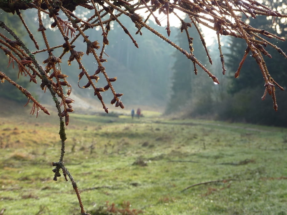
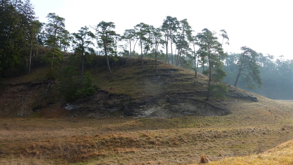
Ein weiteres Teilstück des Jakobsweges von Nürnberg nach Eichstätt führt vom "Keltendorf" Landersdorf über eine Hochfkäche und kleinen Waldstücken zur "Grenze" zwischen Großnottersdorf (Mittelfranken) und Esselsberg (Oberbayern).
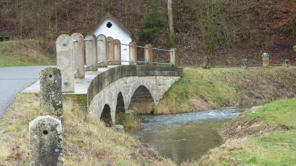
Neben den Esselsbergbach kommen wir zuerste zur Hainmühle (Mühlen und Hofladen) und dann nach Morsbach mit seiner St. Walburgakirche.
Nun laufen wir stets oberhalb des Morsbachs bis nach Emsing (St. Martin). Nach dem Ort treffen wir auf die Anlauter und schließlich in das kleine Dörfchen Altdorf (St. Nikolaus). Dieser Ort liegt etwas vom "Jakobsweg" abseits.
Viel Spass beim Entdecken
Links:
Further information at
http://www.landratsamt-roth.de/desktopdefault.aspx/tabid-194/227_read-16075/Tour gallery
Tour map and elevation profile
Minimum height 414 m
Maximum height 563 m
More about the tour author
|
|
Rezatfisch |
Comments

Ferwanderweg
- Pilgerweg
- Jakobsweg
- Themenweg
- Prozessionsweg
Links:
GPS tracks
Trackpoints-
GPX / Garmin Map Source (gpx) download
-
TCX / Garmin Training Center® (tcx) download
-
CRS / Garmin Training Center® (crs) download
-
Google Earth (kml) download
-
G7ToWin (g7t) download
-
TTQV (trk) download
-
Overlay (ovl) download
-
Fugawi (txt) download
-
Kompass (DAV) Track (tk) download
-
Track data sheet (pdf) download
-
Original file of the author (gpx) download
More about the tour author
|
|
Rezatfisch |
Add to my favorites
Remove from my favorites
Edit tags
Open track
My score
Rate