


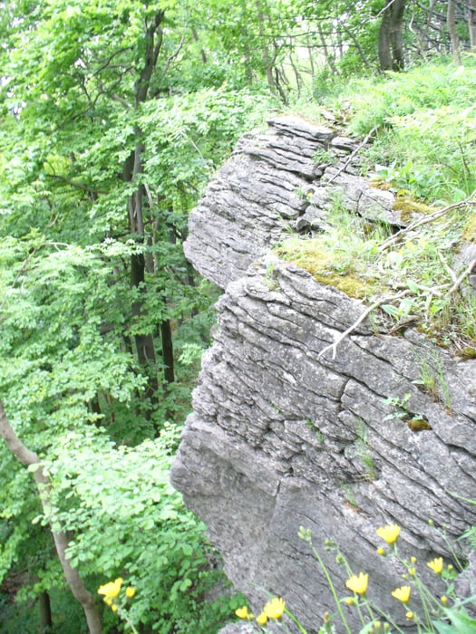
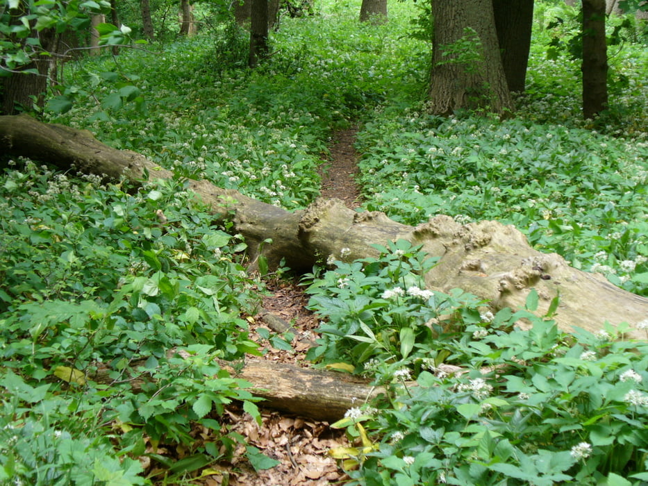
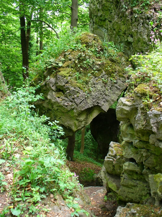
Die Tour startet am Klinikum Lindenbrunn in Coppenbrügge, dort ist ein großer Parkplatz. Von dort geht es zum Kammweg, die letzten 100 m bis oben muß man warscheinlich schieben, der Rest der Tour ist Fahrbar. Die besteht aus Single-Trails, Witschaftswegen (größter Anteil), Straße (geringster Anteil) und 3 heftigen Anstiegen.
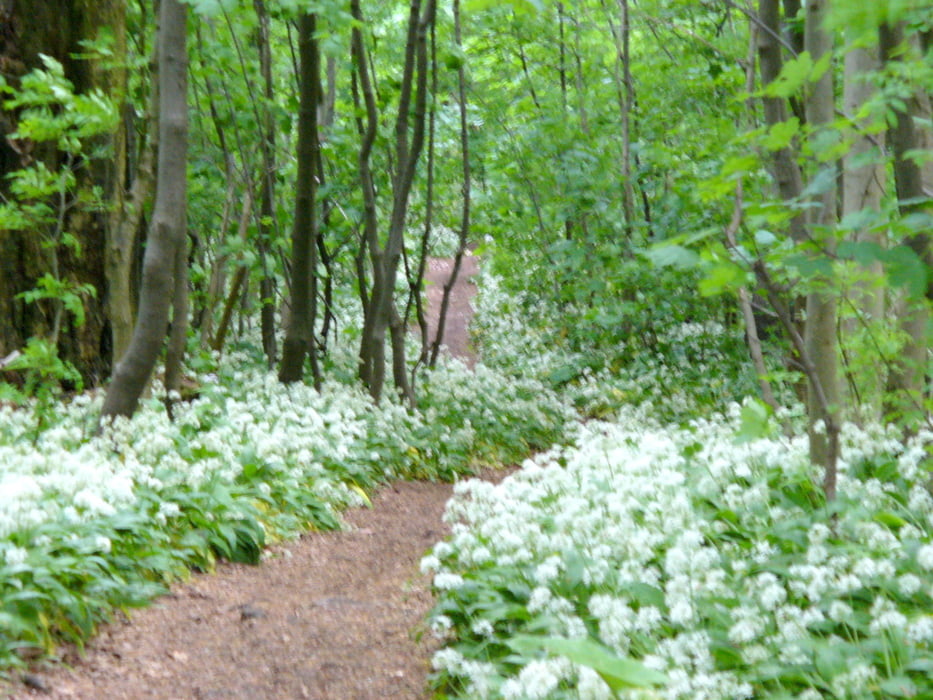
Von April bis September ist ein Teil der Singeltrails mit Brennesseln gesäumt.
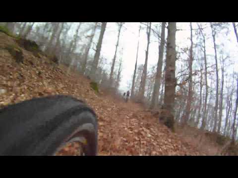
Tour gallery
Tour map and elevation profile
Minimum height 130 m
Maximum height 424 m
More about the tour author
|
|
MTB-TiGer |
Comments

Nach Coppenbrügge und dann dem Schild "Klinikum Lindenbrunn" folgen.
GPS tracks
Trackpoints-
GPX / Garmin Map Source (gpx) download
-
TCX / Garmin Training Center® (tcx) download
-
CRS / Garmin Training Center® (crs) download
-
Google Earth (kml) download
-
G7ToWin (g7t) download
-
TTQV (trk) download
-
Overlay (ovl) download
-
Fugawi (txt) download
-
Kompass (DAV) Track (tk) download
-
Track data sheet (pdf) download
-
Original file of the author (gpx) download
More about the tour author
|
|
MTB-TiGer |
Add to my favorites
Remove from my favorites
Edit tags
Open track
My score
Rate