


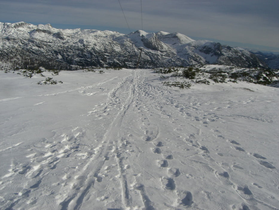
Wenns im Tal noch keinen Schnee gibt, ist dies eine Alternative für Schitourenfans. Auffahrt von Bad Mitterndorf zur Tauplitzalm. Vom Parkplatz vorbei am HOLHAUS nach der Schipiste zur Bergstation des Sesselliftes Lawinenstein, links flach abfahren zum ersten Lift, diesen bis zur Bergstation folgen und von dieser rechts haltend zum nächsten Lift. Dieser Liftspur folgen bis zum Gipfel des Lawinensteins.
Abfahrt genau wie Aufstieg!
Further information at
http://www.alpintouren.com/de/touren/wandern/tourbeschreibung/tourdaten_19192.htmlTour gallery


Tour map and elevation profile
Minimum height 1597 m
Maximum height 1969 m
More about the tour author
|
|
kaiser630 |
Comments

Auf der Salzkammergut Straße (B145) von Gmunden oder Stainach-Irdning kommend bis nach Bad Mitterndorf bzw. Tauplitz. Von Bad Mitterndorf auf einer Mautstraße, oder von Tauplitz mit einem Sessellift auf die Tauplitzalm.
GPS tracks
Trackpoints-
GPX / Garmin Map Source (gpx) download
-
TCX / Garmin Training Center® (tcx) download
-
CRS / Garmin Training Center® (crs) download
-
Google Earth (kml) download
-
G7ToWin (g7t) download
-
TTQV (trk) download
-
Overlay (ovl) download
-
Fugawi (txt) download
-
Kompass (DAV) Track (tk) download
-
Track data sheet (pdf) download
-
Original file of the author (gpx) download
More about the tour author
|
|
kaiser630 |
Add to my favorites
Remove from my favorites
Edit tags
Open track
My score
Rate