


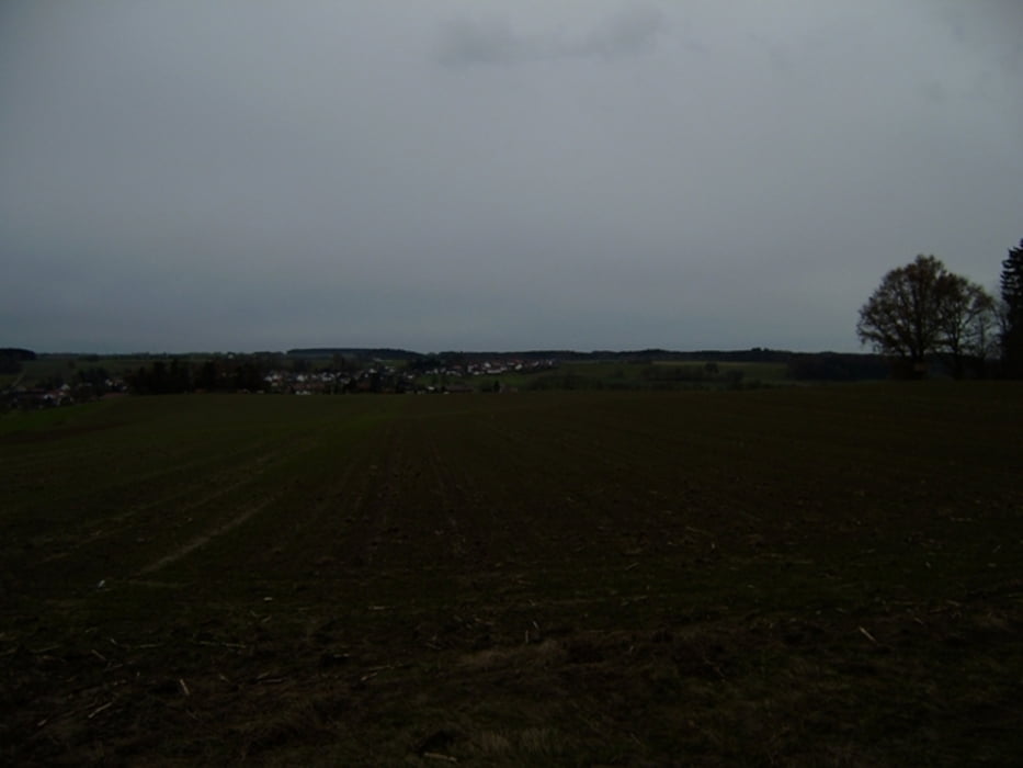
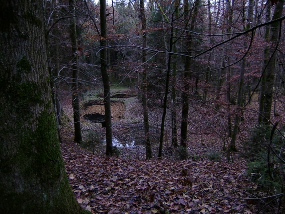
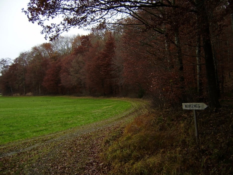
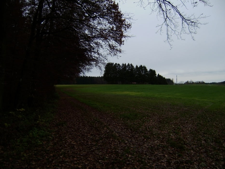
Ein landschaftlich sehr abwechslungsreiche Wanderung. Die Wege sind nach Durchfeuchtung teilweise recht schmutzig - man benötigt deshalb gutes Schuhwerk! Einkehr evtl. in Erolzheim im Anschluß.
Zus. Daten: AVS = 5,7 km/h - Pausen keine
Wetter: ein trüber aber trockener Herbsttag - 10°C
Der am 15.11.2009 gelaufene Track ist fehlerkorrigiert!
Hinweis: Ausgeschilderte Wildruhezonen bitte nicht betreten! Bitte darauf Rücksicht nehmen - die Natur wird es uns allen danken.
213-46-21072018
Further information at
http://www.schenie.deTour gallery
Tour map and elevation profile
Minimum height 484 m
Maximum height 629 m
More about the tour author
|
|
schenie |
Comments

Start und Ziel am Funkturm bei Erolzheim.
Alles Forstwege
Trotzdem gutes Schuhwerk tragen
Aus meinem Tagebuch:
Sehenswert:
Einkehrmöglichkeit:
Schlußworte:
GPS: Garmin Etrex Vista HCX
213-46-21072018
GPS tracks
Trackpoints-
GPX / Garmin Map Source (gpx) download
-
TCX / Garmin Training Center® (tcx) download
-
CRS / Garmin Training Center® (crs) download
-
Google Earth (kml) download
-
G7ToWin (g7t) download
-
TTQV (trk) download
-
Overlay (ovl) download
-
Fugawi (txt) download
-
Kompass (DAV) Track (tk) download
-
Track data sheet (pdf) download
-
Original file of the author (gpx) download
More about the tour author
|
|
schenie |
Add to my favorites
Remove from my favorites
Edit tags
Open track
My score
Rate