


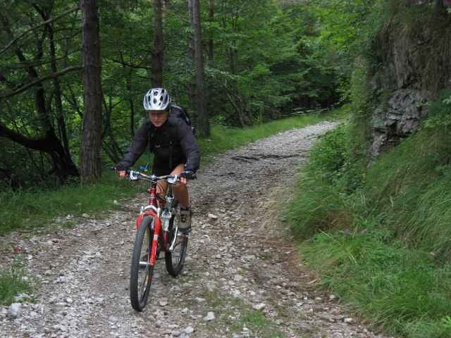
Bei dieser Tour ist schon der Anfahrtsweg beindruckend mit dem Auto ins Vale di Valvestino und entlang des gleichnamigen Stausees zu fahren. Zu Beginn der Tour kurbeln wir uns etliche hm auf der wenig befahrenen Fahrstrasse nach Magasa und weiter Richtung Cadria. Weiter führt diese Tour mit ein paar giftigen Anstiegen (bis zu 30 % ! - würg) über etliche Pässe in sehr sehr wirklich sehr einsamen Tälern mit schönen Aussichten.
Tour gallery
Tour map and elevation profile
Minimum height 525 m
Maximum height 1383 m
More about the tour author
|
|
ingo |
Comments
Von Riva nach Gargnano. In Gargnano ins Valvestino Tal abzweigen Richtung Lago d´Idro, Capovalle, Magasa. Kurz nach Ende des Stausees (ca. 500 m nach Molino) gibt es Parkmöglichkeiten. Die Tour führt im Uhrzeigersinn
GPS tracks
Trackpoints-
GPX / Garmin Map Source (gpx) download
-
TCX / Garmin Training Center® (tcx) download
-
CRS / Garmin Training Center® (crs) download
-
Google Earth (kml) download
-
G7ToWin (g7t) download
-
TTQV (trk) download
-
Overlay (ovl) download
-
Fugawi (txt) download
-
Kompass (DAV) Track (tk) download
-
Track data sheet (pdf) download
-
Original file of the author (g7t) download
More about the tour author
|
|
ingo |
Add to my favorites
Remove from my favorites
Edit tags
Open track
My score
Rate
Höhenprofil nicht so ernst nehmen. Nach dem höchsten Punkt geht es im Wesentlichen bergab.