


Wer hätte das gedacht.
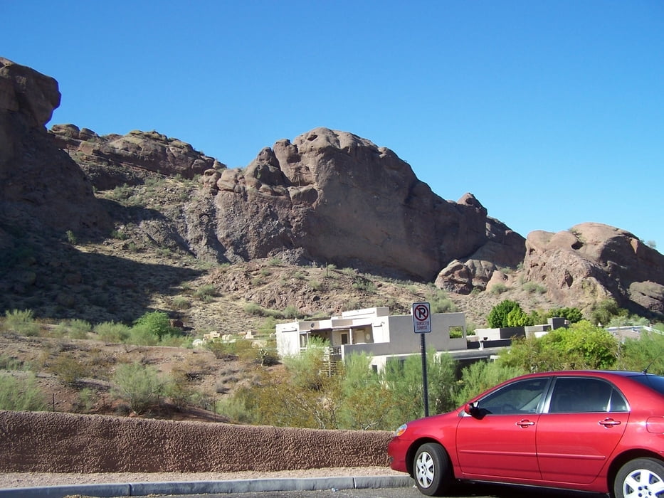
Mitten in der Stadt steht ein Berg der es lohnt gemacht zu werden.
Erstens ist er schön frei.
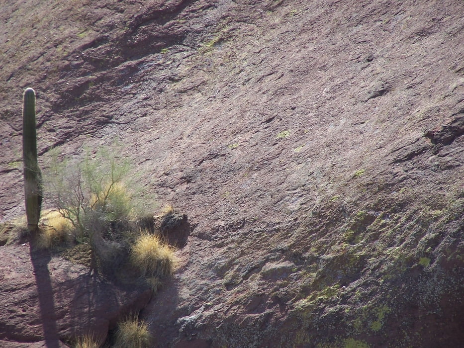
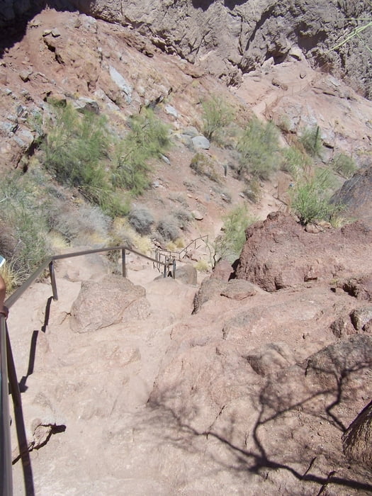
Zweitens ist er für Wanderer etwas anspruchsvoll, weil der Weg teilweise richtig steil ist und mit Geländern gesichert ist. 90% der Nutzer brauchen auch die Gländer um genügen Halt zu finden.
Drittens ist die Aussicht grandios.
Unbedingt machen! WASSER nicht vergessen.
Further information at
http://en.wikipedia.org/wiki/Camelback_MountainTour gallery

Tour map and elevation profile
Minimum height 408 m
Maximum height 811 m
More about the tour author
|
|
Pheinz |
Comments

Am Fuß des Berges gibt es einen Parkplatz.
GPS tracks
Trackpoints-
GPX / Garmin Map Source (gpx) download
-
TCX / Garmin Training Center® (tcx) download
-
CRS / Garmin Training Center® (crs) download
-
Google Earth (kml) download
-
G7ToWin (g7t) download
-
TTQV (trk) download
-
Overlay (ovl) download
-
Fugawi (txt) download
-
Kompass (DAV) Track (tk) download
-
Track data sheet (pdf) download
-
Original file of the author (gpx) download
More about the tour author
|
|
Pheinz |
Add to my favorites
Remove from my favorites
Edit tags
Open track
My score
Rate