


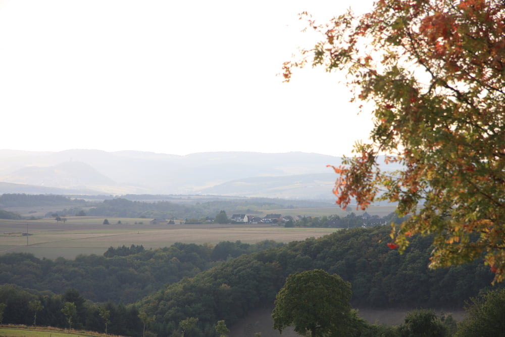
Streckenführung der CTF 2009 von RV Albatross Andernach
Namedy-Fuchssprung-Wanderweg V-K58-Mennonitenfriedhof-Wernershof-Lavagrube-Schulheim Ruine- L116-Laacher See Höhenrundweg-Um Krufter Ofen -Teufelskanzel-Richtung Laacher-Wiesentrail zum Laacher See Haus -an A61 entlang- Thelenberg-Naturkundemuseum-Um Laacher Kopf- über Wiesen zur L115 - Auf Höhenweg zum Waldfrieden - auf L116 kurz zu Parkplatz - über Kuppe zu Unterstandshütte - steil abwärts nach Nikenich - Kirchstrasse vorbei an Friedhof-Lavaabbau - links auf Schotter weg - auf K58 nach Eich-über Burgstrasse und Bauernhöfe zurück nach Andernach
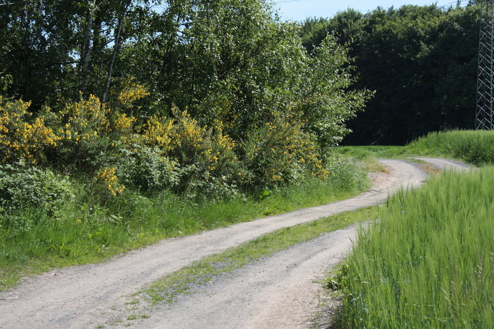
Tour gallery
Tour map and elevation profile
Minimum height 59 m
Maximum height 409 m
More about the tour author
|
|
winfried_manke |
Comments

Start bei Berufsschule Schillerring.
GPS tracks
Trackpoints-
GPX / Garmin Map Source (gpx) download
-
TCX / Garmin Training Center® (tcx) download
-
CRS / Garmin Training Center® (crs) download
-
Google Earth (kml) download
-
G7ToWin (g7t) download
-
TTQV (trk) download
-
Overlay (ovl) download
-
Fugawi (txt) download
-
Kompass (DAV) Track (tk) download
-
Track data sheet (pdf) download
-
Original file of the author (gpx) download
More about the tour author
|
|
winfried_manke |
Add to my favorites
Remove from my favorites
Edit tags
Open track
My score
Rate