


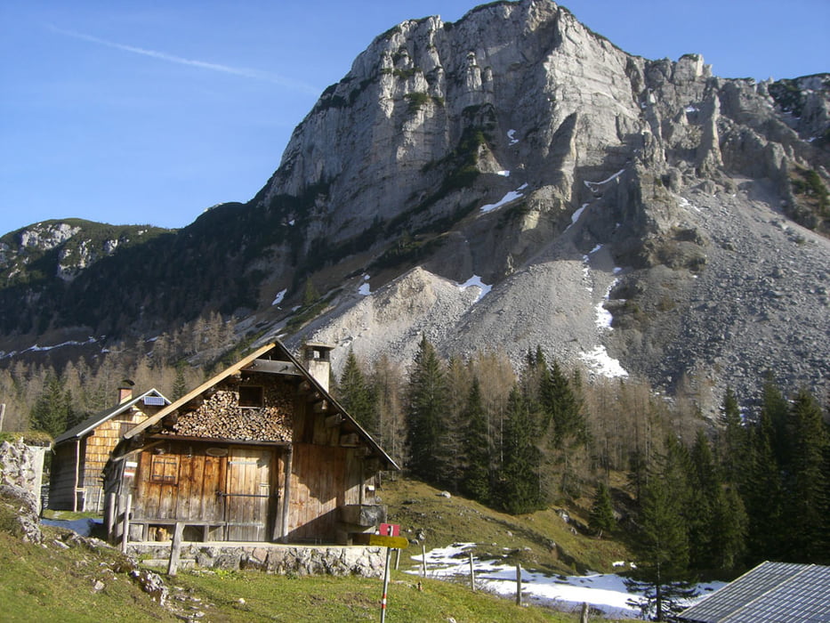
Der Forstraße ca 3 km folgen, anschließend den Weg entlang eines Grabens aufwärts folgen zur VorderenSandlingalm (ca. 1 1/2h).
Dann beginnt am nordöstlichen Ende derAlm ein leichter, aber trotz des Bewuchses ziemlich ausgesetzterKlettersteig (für erfahrene Normalgeher kein Problem; Vorsicht istjedenfalls mit ungeübten Kindern geboten!!!).
Nach dem Ausstieg rechts zum Gipfel (ca. 1/2h, Blick über das Ausseer Land bis zum Dachstein).
Alternativ ist diese Tour auch von Lupitsch aus machbar, siehe Link unten.
Further information at
http://www.alpintouren.com/AT2006/index.asp?LID=1&CT=DETAIL&TourID=18427&TourTypID=1&DetailTypID=1Tour gallery


Tour map and elevation profile
Minimum height 841 m
Maximum height 1724 m
More about the tour author
|
|
kaiser630 |
Comments

Bad Goisern richtung Bad Aussee vorm Pötschenpass links abbiegen. Der Straße ca 4 km folgen bis zur Halleralm. Parkmöglichkeit.
GPS tracks
Trackpoints-
GPX / Garmin Map Source (gpx) download
-
TCX / Garmin Training Center® (tcx) download
-
CRS / Garmin Training Center® (crs) download
-
Google Earth (kml) download
-
G7ToWin (g7t) download
-
TTQV (trk) download
-
Overlay (ovl) download
-
Fugawi (txt) download
-
Kompass (DAV) Track (tk) download
-
Track data sheet (pdf) download
-
Original file of the author (gpx) download
More about the tour author
|
|
kaiser630 |
Add to my favorites
Remove from my favorites
Edit tags
Open track
My score
Rate