

Spätherbsttour am Uracher Alptrauf
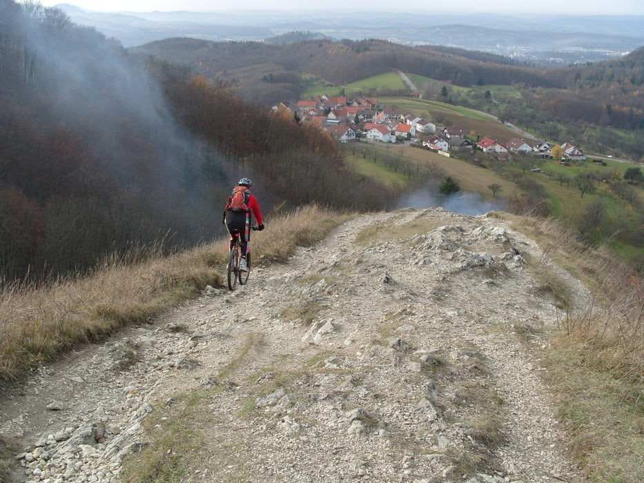
Meine zweite Tour an der Alpkante, trailmäßig eine sehr lohnende Gegend. Die wenigen Wanderer die wir gesehen haben waren meist freundlich.
Die Trails sind meist S0, teilweise S1 (ganz wenig S2). Einige Spitzenkehren sind zu eng. Ein Fully schadet nicht, sonst holpert es teilweise recht heftig. Die Schwierigkeit ist mit 3 anzusetzen, die Tour ist aber nichts für die Familie.
Die Tour ist aus 2Tracks zusammengesetzt, teilweise wegen Empfangsproblemen nachgezeichnet. Fahrtrichtung beachten: gegen den Uhrzeigersinn. Teile der Tour basieren auf Tourenvorschlägen dieser Seite, Danke an die Autoren
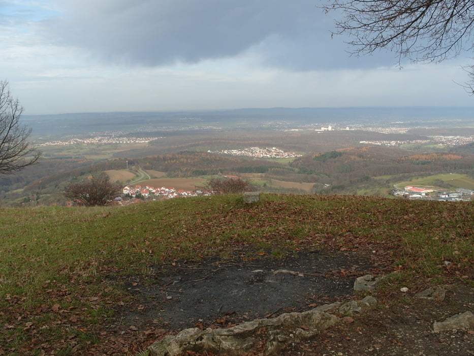
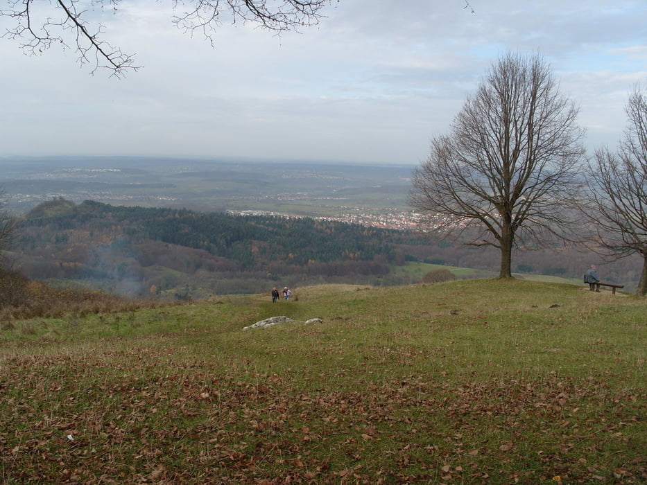
Tour gallery
Tour map and elevation profile
Minimum height 383 m
Maximum height 794 m
More about the tour author
|
|
skyhopper |
Comments

Bad Urach von der A7 AS Merklingen bis Bad Urach, Parken beim Tourstart, Wegpunkt Wasserfall oder Kurzentrum
GPS tracks
Trackpoints-
GPX / Garmin Map Source (gpx) download
-
TCX / Garmin Training Center® (tcx) download
-
CRS / Garmin Training Center® (crs) download
-
Google Earth (kml) download
-
G7ToWin (g7t) download
-
TTQV (trk) download
-
Overlay (ovl) download
-
Fugawi (txt) download
-
Kompass (DAV) Track (tk) download
-
Track data sheet (pdf) download
-
Original file of the author (gpx) download
More about the tour author
|
|
skyhopper |
Add to my favorites
Remove from my favorites
Edit tags
Open track
My score
Rate