

Die Tour basiert auf einer Vorlage von Ralph Trapp #21817, die wir unterwegs an ein paar Stellen modifiziert (wg Wetter und Streckenlängen) haben.
Freitag 24.07.09 – 1. Etappe:
Garmisch – Eibsee – Hochthörlehütte – Ehrwald – Nassereith:
47 km, 1.280 Hm, Fahrzeit ca 4.30 h
Samstag 25.07.09 – 2. Etappe:
Nassereith – Imst – Landeck – See – Ischgl – Heidelberger Hütte:
87 km - 2250 Hm - Fahrzeit: ca 7 h
Sonntag 26.07.09 – 3. Etappe:
Heidelberger Hütte – Fimbergpass – Vna – Uinaschlucht – Sesvenna-Hütte
35 km - 1612 Hm - Fahrzeit: ca 7 h
(Tip: von der Hütte abfahren und im nächsten Ort übernachten, dort gibt es genügend gute Möglichkeiten. Die Hütte war schlecht- Essen, Freundlichkeit, Übernachtungen)
Montag 27.07.09 – 4. Etappe:
Sesvenna-Hütte – Laudes – Müstair – Santa Maria – Umbrailpass - Bormio
63 km - 1960 Hm - Fahrzeit: ca 7.30 h
Dienstag 28.07.09 – 5. Etappe:
Bormio – Santa Caterina – Passo di Gavia –Bozzi – Passo die Forcellina –Pejo Fonti
64 km - 2450 Hm - Fahrzeit: ca 8 h (heftig!!)
Mittwoch 29.07.09 – 6. Etappe:
Pejo Fonti – Ossana – Dimaro – Rifugio di Graffer – Madonna di Campiglio
43 km - 1500 Hm - Fahrzeit: ca 5.30 h
Donnerstag 30.07.09 – 7. Etappe:
Madonna di Campiglio – Pinzolo – Pione di Trento – Marrazone - Riva del Garda70 km - 850 Hm - Fahrzeit: ca 4.30 h
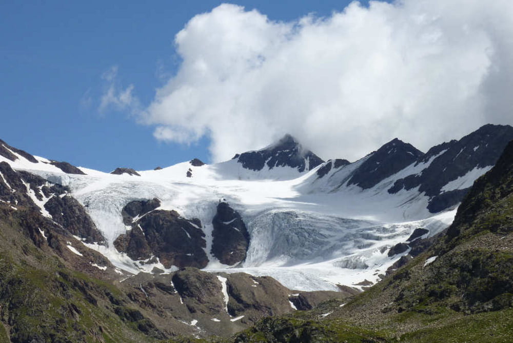
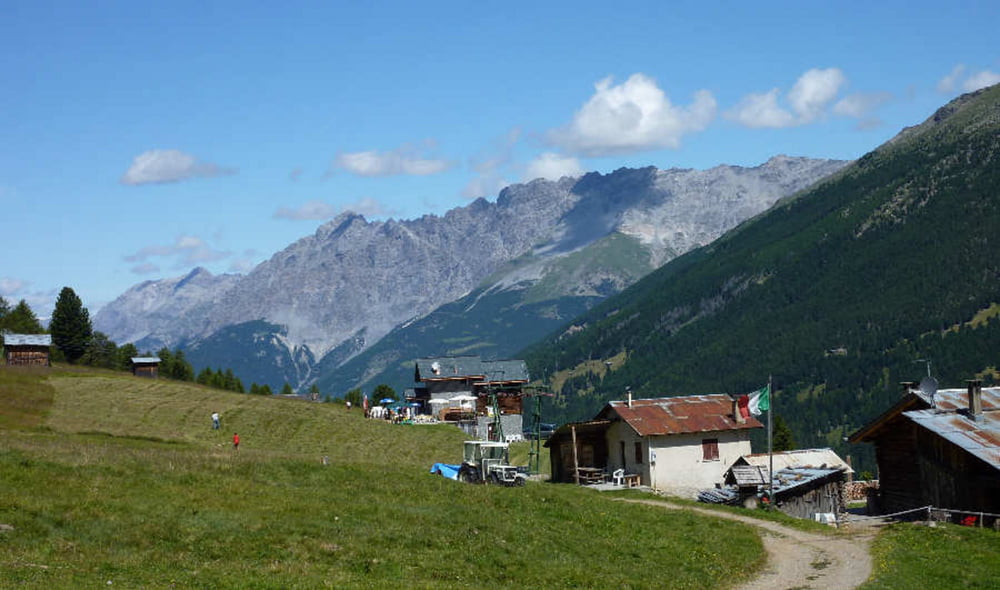
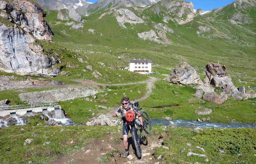
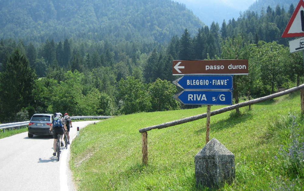
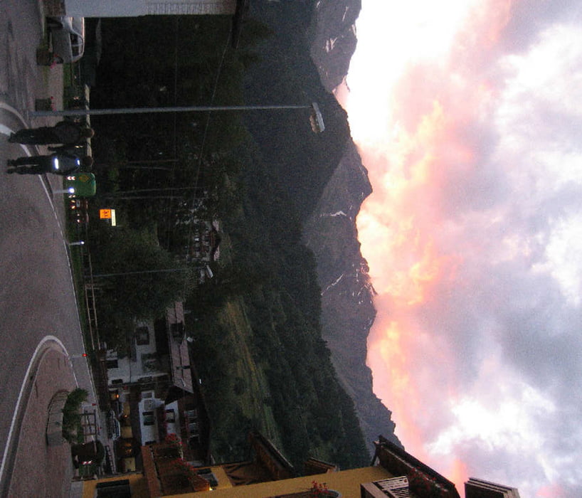
Tour gallery
Tour map and elevation profile
Minimum height 89 m
Maximum height 2626 m
More about the tour author
|
|
wernermohr |
Comments

GPS tracks
Trackpoints-
GPX / Garmin Map Source (gpx) download
-
TCX / Garmin Training Center® (tcx) download
-
CRS / Garmin Training Center® (crs) download
-
Google Earth (kml) download
-
G7ToWin (g7t) download
-
TTQV (trk) download
-
Overlay (ovl) download
-
Fugawi (txt) download
-
Kompass (DAV) Track (tk) download
-
Track data sheet (pdf) download
-
Original file of the author (gpx) download
More about the tour author
|
|
wernermohr |
Add to my favorites
Remove from my favorites
Edit tags
Open track
My score
Rate