Login

Forgot your login?

Cookies have to be accepted!
Your browser's cookie functionality is disabled. Please enable this functionality.

Not a member yet?

Register now
Login

Available for registred users only

Log in to use this feature.

Forgot your login?

Cookies have to be accepted!
Your browser's cookie functionality is disabled. Please enable this functionality.

Not a member yet?

Register now
Filter
Categories
Advanced filters
  • Distance (km)
  • Height
Save filters Reset filter

TrackRank

QRCode

Technical data

Distance5,4 km Height8 m Way down10 m Duration01:30 h:m Date23.11.2009
Scores Author Landscape Fun factor Fitness Technique

Statistics

1521 Views Scores 53 Downloads Average
Rate
  • Track data sheet
  • Directions
  • Downloads

Meine Wegbeschreibung und weitere Infos zur Tour findet ihr hier:

http://www.qype.com/review/1105365

Further information at

http://www.qype.com/place/1066508-ems-jade-kanal-Wilhelmshaven

Tour gallery

Tour map and elevation profile

  • Open Street Map
  • Google
Minimum height 1 m Maximum height 8 m Detailed view

More about the tour author

de-tek
Member since 2009

Send private message

Comments

de-tek on 23.11.2009

Flut / Ebbe

Vorsicht es ist gerade Ebbe. Bei Flut kann man meinen GPS-Koordinaten teilweise nicht wirklich folgen. ^^

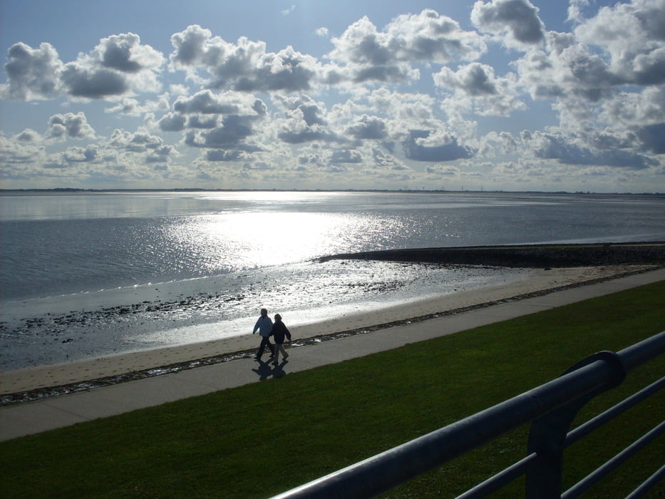
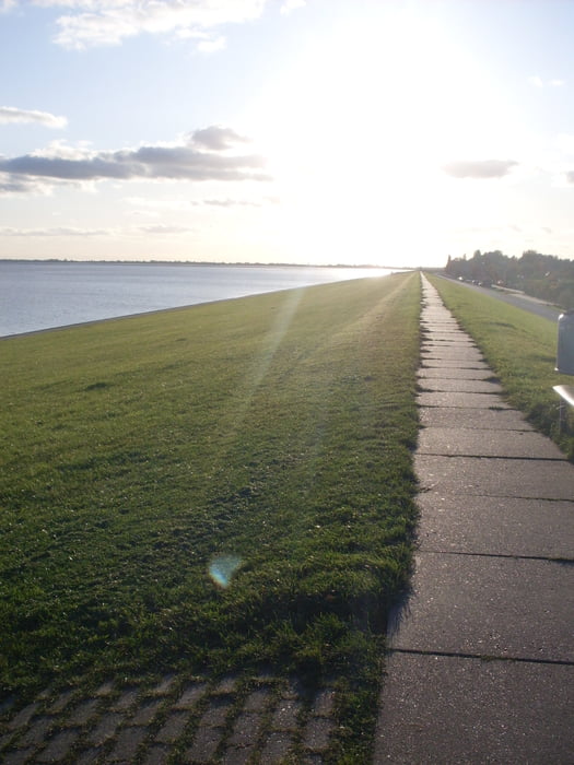
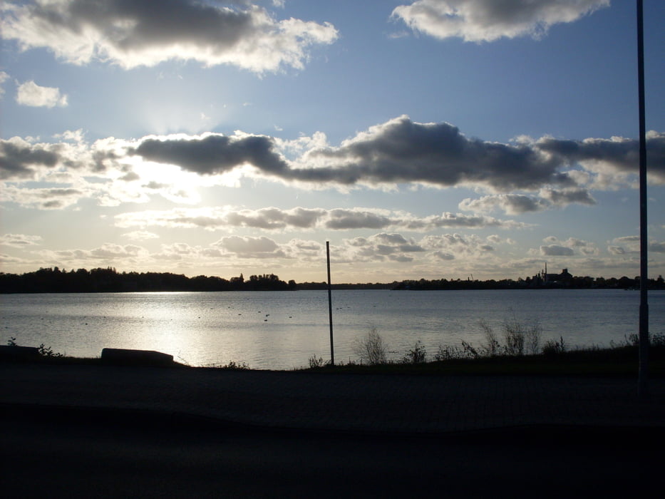
Start und Navigationsziel für die Anfahrt zur Rundwanderung ist die Südstrand Straße in Wilhelmshaven.

Wir parken entlang der Straße auf öffentlichen, gebührenfreien und reichlich vorhandenen freien Parkplatz.

GPS tracks

Trackpoints
  • GPX / Garmin Map Source (gpx) download
  • TCX / Garmin Training Center® (tcx) download
  • CRS / Garmin Training Center® (crs) download
  • Google Earth (kml) download
  • G7ToWin (g7t) download
  • TTQV (trk) download
  • Overlay (ovl) download
  • Fugawi (txt) download
  • Kompass (DAV) Track (tk) download
  • Track data sheet (pdf) download
  • Original file of the author (gpx) download

More about the tour author

de-tek
Member since 2009

Send private message
Share track
Add to my favorites
Remove from my favorites
Edit tags
My score
Rate
Track: Wilhelmshaven - Ems Jade Kanal
Type: Hiking
Distance: 5,4 km
Evaluated on:
Duration:
Day(s)
Hour(s)
Minute(s)
Score: Landscape Fun factor Fitness Technique