


Mooie rit met nogal wat afwisseling.
De route staat aangeduid op de vtt-kaart Hamoir-Ferrières, maar er zijn geen aanduidingen op het terrein.
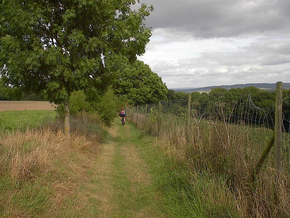
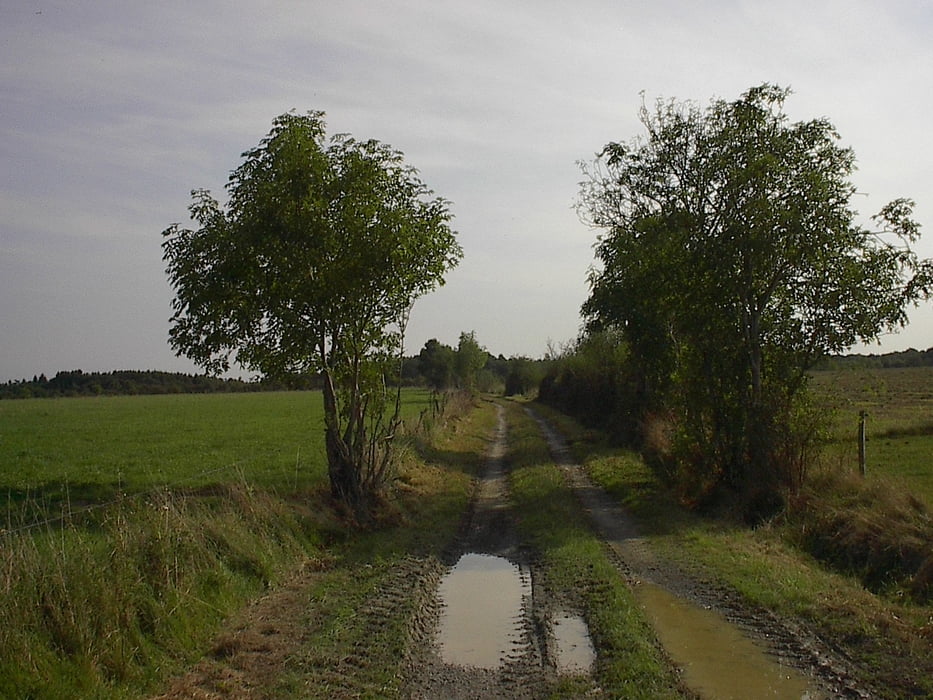
Het eerste stuk loopt naast de Ourthe, daarna gaat het omhoog naar het plateau, om op het einde terug af te dalen naar de Ourthe.
Vertrek naast de Ourthe vlakbij de brug van Hamoir. Er is ruim parkeergelegenheid.
Tour gallery

Tour map and elevation profile
Minimum height 60 m
Maximum height 300 m
More about the tour author

|
jefhoremans |
Comments

Vertrek naast de Ourthe vlakbij de brug van Hamoir. Er is ruim parkeergelegenheid.
GPS tracks
Trackpoints-
GPX / Garmin Map Source (gpx) download
-
TCX / Garmin Training Center® (tcx) download
-
CRS / Garmin Training Center® (crs) download
-
Google Earth (kml) download
-
G7ToWin (g7t) download
-
TTQV (trk) download
-
Overlay (ovl) download
-
Fugawi (txt) download
-
Kompass (DAV) Track (tk) download
-
Track data sheet (pdf) download
-
Original file of the author (gpx) download
More about the tour author
|
|
jefhoremans |
Add to my favorites
Remove from my favorites
Edit tags
Open track
My score
Rate