


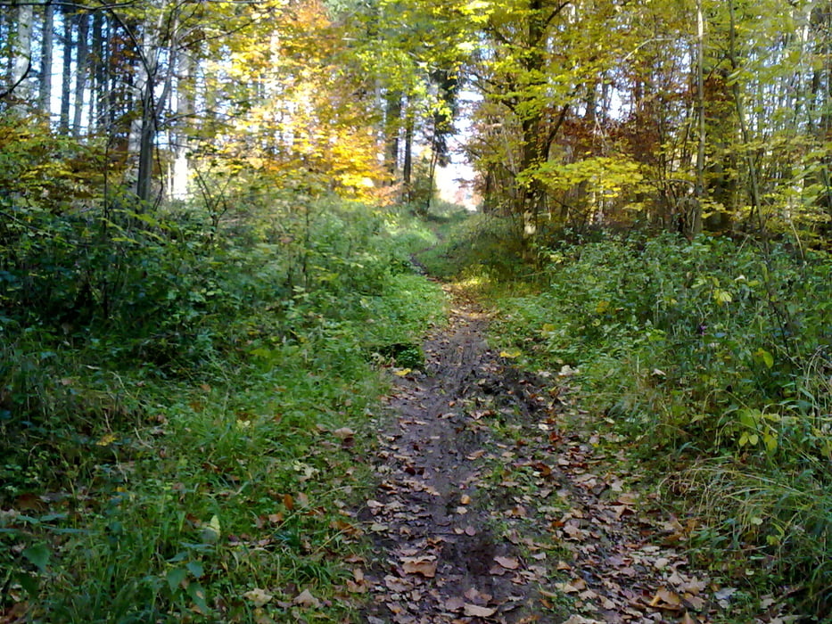
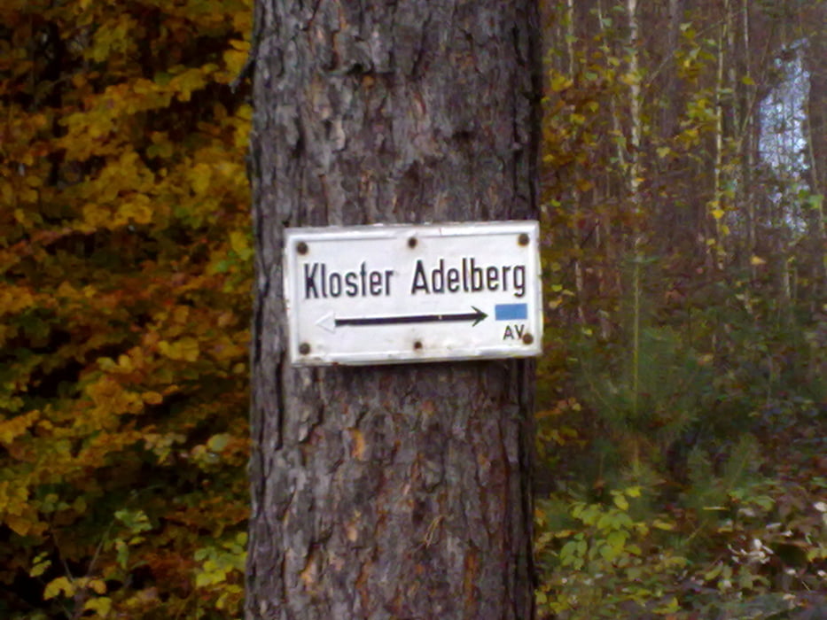
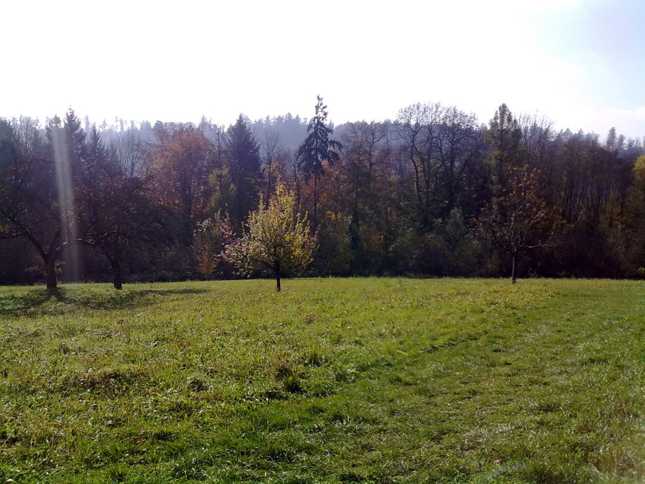
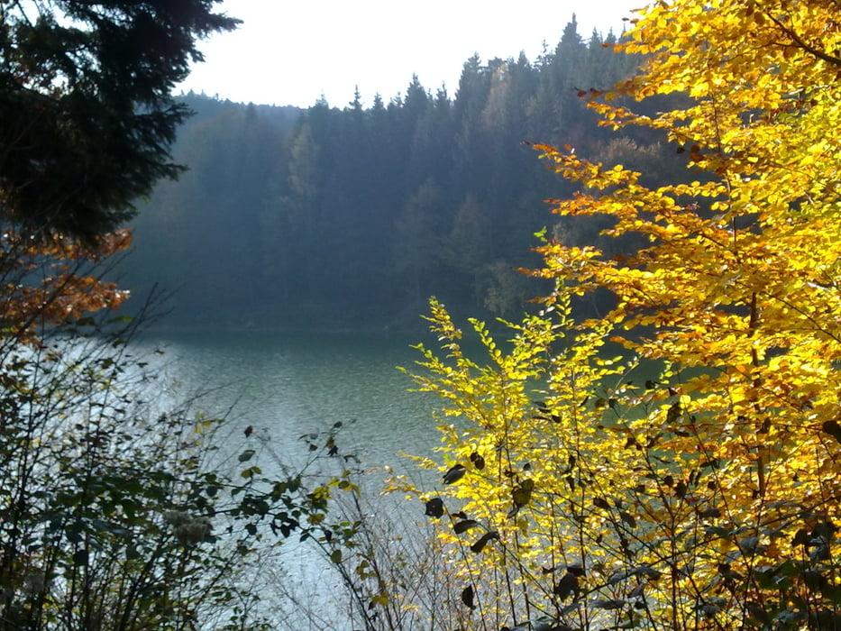
Die Tour führt von Reichenbach über das Nasachtal, Richtung Kloster Adelberg über schöne Waldwege und Trails. Immer wieder sind schöne Trails bergauf und bergab enthalten die evtl. auch mal nur durch schieben zu bezwingen sind!? ;o)
Wer die Tour downloadet und nachfährt, soll doch bitte eine Bewertung und ein Kommentar abgeben. Nur durch Feedback kann man sich verbessern! ;o)
Tour gallery
Tour map and elevation profile
Minimum height 262 m
Maximum height 489 m
More about the tour author
|
|
champ |
Comments
73262 Reichenbach an der Fils
Start ist der Ortsausgang Reichenbach Richtung Ebersbach.
GPS tracks
Trackpoints-
GPX / Garmin Map Source (gpx) download
-
TCX / Garmin Training Center® (tcx) download
-
CRS / Garmin Training Center® (crs) download
-
Google Earth (kml) download
-
G7ToWin (g7t) download
-
TTQV (trk) download
-
Overlay (ovl) download
-
Fugawi (txt) download
-
Kompass (DAV) Track (tk) download
-
Track data sheet (pdf) download
-
Original file of the author (gpx) download
More about the tour author
|
|
champ |
Add to my favorites
Remove from my favorites
Edit tags
Open track
My score
Rate
danke
Danke für die Tour. Die hat mir Spass gemacht. Vorallem die Trails.
Tschüss