Login

Forgot your login?

Cookies have to be accepted!
Your browser's cookie functionality is disabled. Please enable this functionality.

Not a member yet?

Register now
Login

Available for registred users only

Log in to use this feature.

Forgot your login?

Cookies have to be accepted!
Your browser's cookie functionality is disabled. Please enable this functionality.

Not a member yet?

Register now
Filter
Categories
Advanced filters
  • Distance (km)
  • Height
Save filters Reset filter

TrackRank

QRCode

Technical data

Distance17,8 km Height468 m Way down577 m Duration00:00 h:m Date27.11.2009
Scores Author Landscape Fun factor Fitness Technique

Statistics

276 Views Scores 18 Downloads Average
Rate
  • Track data sheet
  • Directions
  • Downloads

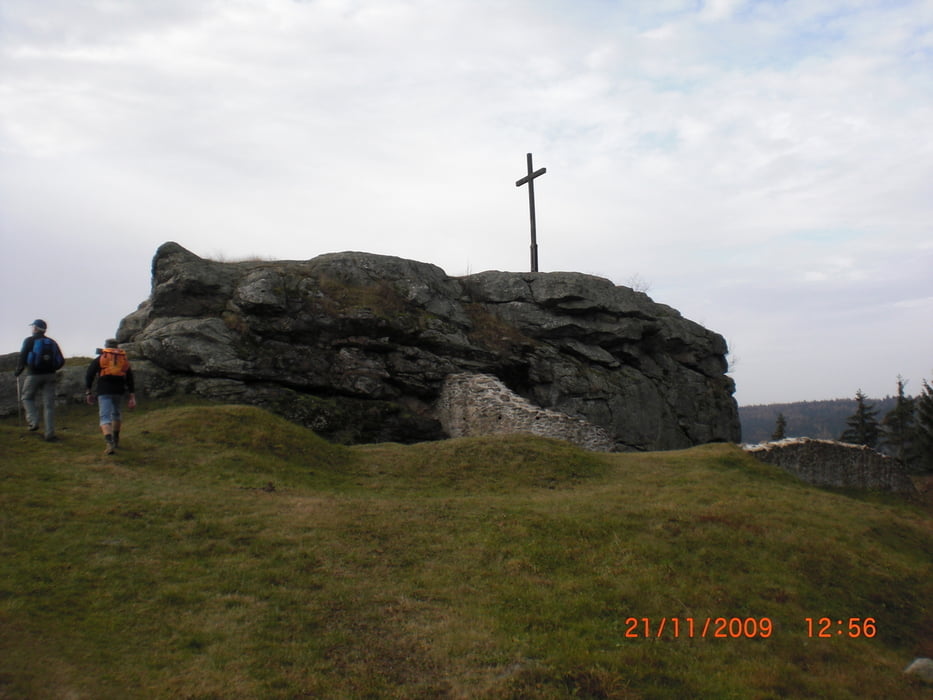
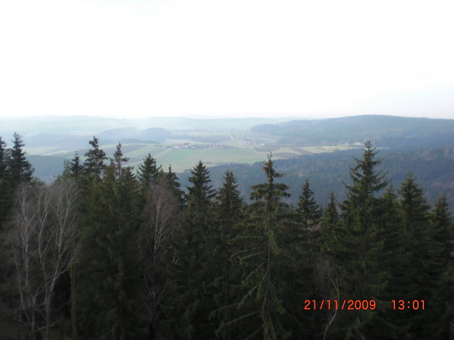
Der Goldsteig führt von Marktredwitz bis Passau.Diese Wanderung war unsere erste Etappe auf dem Goldsteig. Begonnen haben wir am Lehrpfad in Thännersberg. Kurz vor Oberviechtach haben wir den Goldsteig verlassen. Wir freuen uns schon auf die nächsten Etappen des Goldsteigs.

Tour gallery

Tour map and elevation profile

  • Open Street Map
  • Google
Minimum height 454 m Maximum height 736 m Detailed view

More about the tour author

Sira
Member since 2008

Send private message

Comments

GPS tracks

Trackpoints
  • GPX / Garmin Map Source (gpx) download
  • TCX / Garmin Training Center® (tcx) download
  • CRS / Garmin Training Center® (crs) download
  • Google Earth (kml) download
  • G7ToWin (g7t) download
  • TTQV (trk) download
  • Overlay (ovl) download
  • Fugawi (txt) download
  • Kompass (DAV) Track (tk) download
  • Track data sheet (pdf) download
  • Original file of the author (gpx) download

More about the tour author

Sira
Member since 2008

Send private message
Share track
Add to my favorites
Remove from my favorites
Edit tags
My score
Rate
Track: Auf dem Goldsteig von Tännesberg nach Oberviechtach
Type: Hiking
Distance: 17,8 km
Evaluated on:
Duration:
Day(s)
Hour(s)
Minute(s)
Score: Landscape Fun factor Fitness Technique