


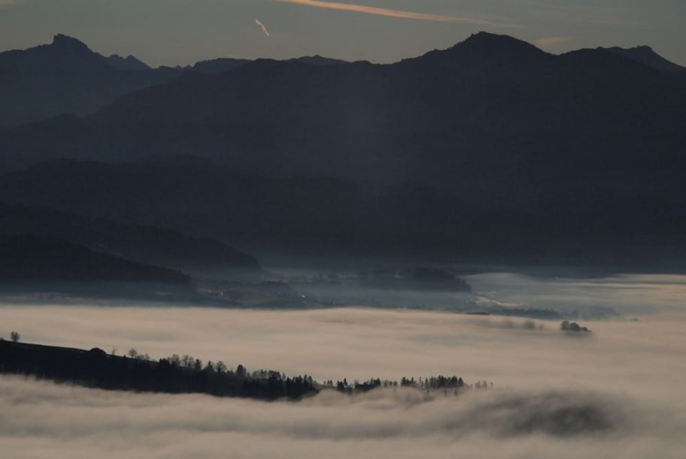
7 km Einfahrstrecke am Bodensee entlang, mehrere Bademöglichkeiten für die Rückfahrt (ein originelles Restaurant / Cafe auf einer alten Fähre).
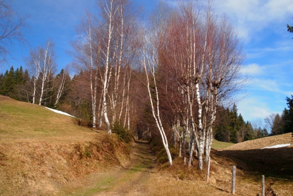
Einige lange bissige Anstiege, das Meiste aber recht bequem. Am Besten die ganze Tour im Uhrzeigersinn befahren (Spassfaktor viel größer). Auf dem Hirschberg-Gipfel ist eine Art Naturschutzgebiet (nicht zu sehen) - hier ist eigentlich Radeln verboten. Heftiger Singletrail vom Gipfel nach Süden (hier sollte man schieben: Naturschutzgebiet), später rassige, flotte Fahrt durch den Wirthatobel mit Naturboden (Aufpassen: hier dürfen auch Autos fahren)!
Tour gallery

Tour map and elevation profile
Minimum height 360 m
Maximum height 1083 m
More about the tour author

|
schoenbli |
Comments

Startparkplatz: Im Auto-Navi eingeben: 88131 Lindau (Bodensee), Ladestraße 21.
GPS tracks
Trackpoints-
GPX / Garmin Map Source (gpx) download
-
TCX / Garmin Training Center® (tcx) download
-
CRS / Garmin Training Center® (crs) download
-
Google Earth (kml) download
-
G7ToWin (g7t) download
-
TTQV (trk) download
-
Overlay (ovl) download
-
Fugawi (txt) download
-
Kompass (DAV) Track (tk) download
-
Track data sheet (pdf) download
-
Original file of the author (gpx) download
More about the tour author
|
|
schoenbli |
Add to my favorites
Remove from my favorites
Edit tags
Open track
My score
Rate