


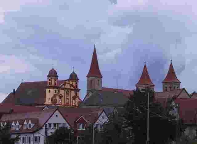
Von Abstgmünd entlang des Kochertals nach Hüttlingen. Dort an der Bäckerei Stollenberger (hier gibt es auch Sonntagnachmittags guten Kuchen) vorbei. Über die Goldhöfe zum Stausee Rainau-Buch, dem ersten See der Tour. Nun der Jagst entlang nach Ellwangen. Dort lohnt auch eine kleine Stadtrundfahrt (nicht im Track enthalten). Weiter zum Fischbachsee. Dieser ruhig gelegene Badesee lädt zum Baden ein. Danach geht es weiter zum Orrotsee, dem dritten See der Tour. Über Hohenberg (interessante Kirche hoch oben am Kirchberg - nicht im Track enthalten) geht es nach Geishardt und ins „Himmelreich“. Hier beginnt das Tal der Blinden Rot. Dieser sehr schöne Streckenabschnitt geht über geschotterte aber gut gefestigte Waldwege. Im Kochertal geht es auf dem Radweg entlang der B19 zurück nach Abstgmünd.
Further information at
http://www.ellwangen.deTour gallery

Tour map and elevation profile
Minimum height 364 m
Maximum height 525 m
More about the tour author

|
ruph |
Comments
Start der Tour ist Abstgmünd erreichbar über die B19 von Aalen oder Schwäbisch Hall aus.
GPS tracks
Trackpoints-
GPX / Garmin Map Source (gpx) download
-
TCX / Garmin Training Center® (tcx) download
-
CRS / Garmin Training Center® (crs) download
-
Google Earth (kml) download
-
G7ToWin (g7t) download
-
TTQV (trk) download
-
Overlay (ovl) download
-
Fugawi (txt) download
-
Kompass (DAV) Track (tk) download
-
Track data sheet (pdf) download
-
Original file of the author (gpx) download
More about the tour author
|
|
ruph |
Add to my favorites
Remove from my favorites
Edit tags
Open track
My score
Rate
Danke