


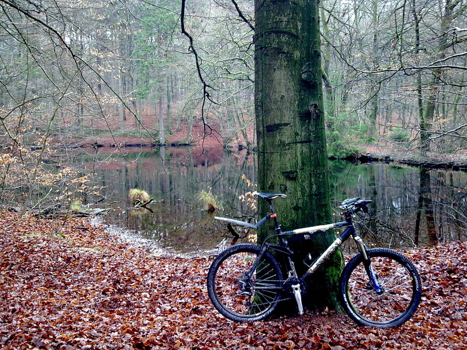
Passende Runde im Wechsel zwischen Teer und Gelände! Genau richtig für einen grauen Dezembertag mit Regen :) Und ab ins Büttenwarder Land
Lemsahl - Alstertal - Hainesch Iland - Volksdorf - Mellenberg - Höltigbaum - Braak - Papendorf - Großensee - Trittau - Hahnheider Forst - Hahnheider Turm - Hohenfelde - Drahtteichtrail - Lütjendee - Hoisdorf - Großhansdorf - Ahrensburg - Schüberg - Ohlstedt - Lemsahl
Further information at
http://www.hegibiketours.de/Tour gallery

Tour map and elevation profile
Minimum height 8 m
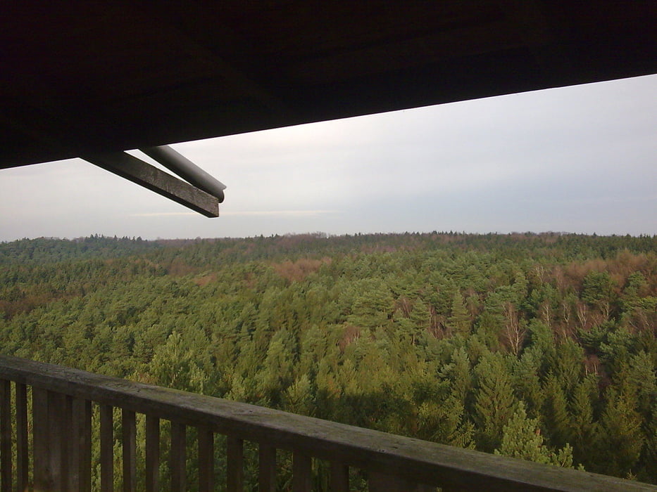
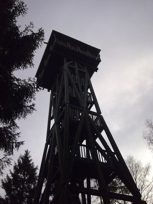
Maximum height 131 m
More about the tour author
|
|
hegi |
Comments

Hamburg-Lemsahl
GPS tracks
Trackpoints-
GPX / Garmin Map Source (gpx) download
-
TCX / Garmin Training Center® (tcx) download
-
CRS / Garmin Training Center® (crs) download
-
Google Earth (kml) download
-
G7ToWin (g7t) download
-
TTQV (trk) download
-
Overlay (ovl) download
-
Fugawi (txt) download
-
Kompass (DAV) Track (tk) download
-
Track data sheet (pdf) download
-
Original file of the author (gpx) download
More about the tour author
|
|
hegi |
Add to my favorites
Remove from my favorites
Edit tags
Open track
My score
Rate