
![Auschwitz - Cracov [greenways]](/redx/tools/mb_image.php/ct.VZO2zQ/gid.8/file.zY2JjudxayAcDhhkO_6nVEUC9idvCakAWKk9hwkM9APOvAxMUf99itB5nLYLIYYq29SDcY2Jj/1_257.jpg "Auschwitz - Birkenau (Nazi Concentration Camp)")

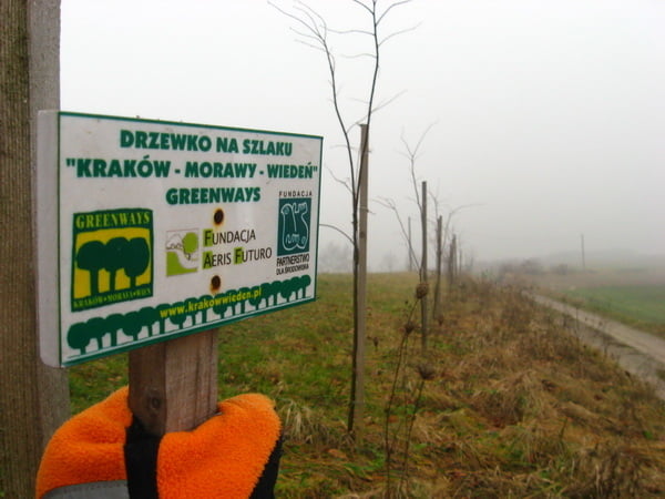
This track leads you between two very important Polish cities in Malopolska region; from Oswiecim (Auschwitz) to Krakow (Cracov). It's a part of the longer route connecting Cracov with Vienna and it belongs to greenways route. All route i signed, but using your GPS guide is easier to navigating on the road.
Nearby this route is also many diffrent attractions; medieval castles, beautiful landscapes, limestone valleys, and quarrys.
Tour gallery


Tour map and elevation profile
Minimum height 191 m
Maximum height 389 m
More about the tour author
|
|
Besz |
Comments

Krakow and Oswiecim (Cracov and Auschwitz) has got a good connection with other cities in the region by train. Also you can use this track when you are travelling on a greenways rout for example from Vienna through Czech Republic to Cracov.
GPS tracks
Trackpoints-
GPX / Garmin Map Source (gpx) download
-
TCX / Garmin Training Center® (tcx) download
-
CRS / Garmin Training Center® (crs) download
-
Google Earth (kml) download
-
G7ToWin (g7t) download
-
TTQV (trk) download
-
Overlay (ovl) download
-
Fugawi (txt) download
-
Kompass (DAV) Track (tk) download
-
Track data sheet (pdf) download
-
Original file of the author (gpx) download
More about the tour author
|
|
Besz |
Add to my favorites
Remove from my favorites
Edit tags
Open track
My score
Rate