


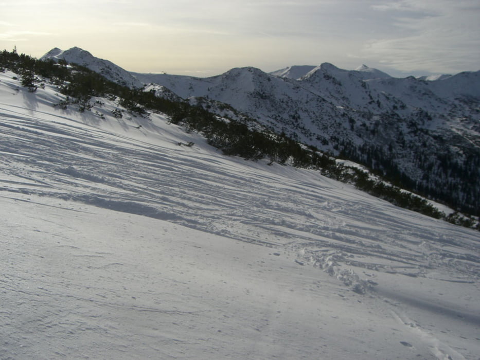
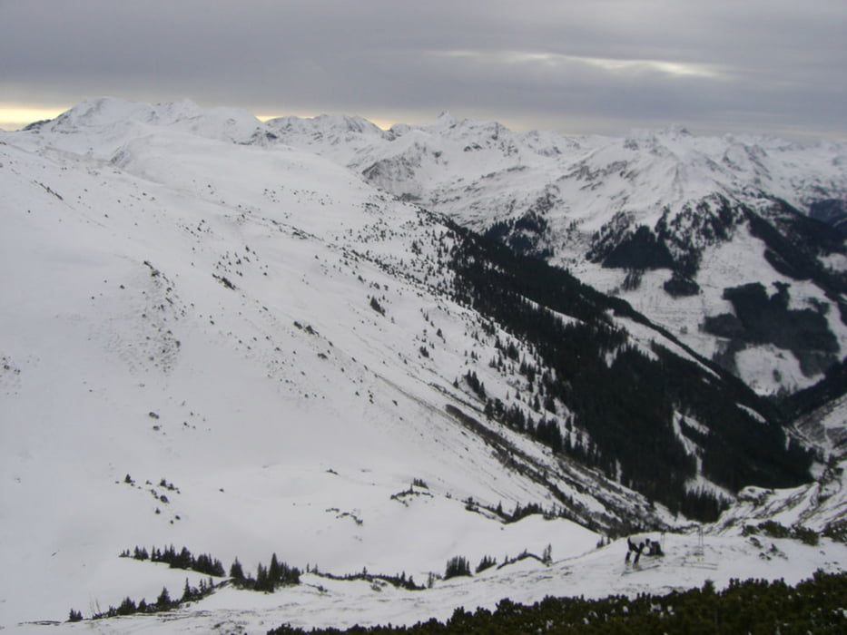
Schitour auf der Planneralm. Von 1600 m bis 2200 m sind verschiedenste Schitouren möglich. Bei genügend Schnee sind auch die Gipfel ringsherum ein lohnendes Tourenziel.
Further information at
http://www.planneralm.atTour gallery


Tour map and elevation profile
Minimum height 1568 m
Maximum height 2023 m
More about the tour author
|
|
kaiser630 |
Comments

Mit dem Auto
- Aus Richtung Salzburg, Villach über die A10 bis Eben, auf der B 320 über Schladming bis Trautenfels, über Irdning auf der B75 bis Donnersbach. Von hier aus über die neue Planneralmstraße in die Erlebniswelt Planneralm.
- Aus Richtung Linz, Graz, Wien über die A9 bis Liezen, auf der B 320 über Stainach bis Trautenfels, über Irdning auf der B75 bis Donnersbach und weiter über die Planneralmstraße auf die Planneralm.
GPS tracks
Trackpoints-
GPX / Garmin Map Source (gpx) download
-
TCX / Garmin Training Center® (tcx) download
-
CRS / Garmin Training Center® (crs) download
-
Google Earth (kml) download
-
G7ToWin (g7t) download
-
TTQV (trk) download
-
Overlay (ovl) download
-
Fugawi (txt) download
-
Kompass (DAV) Track (tk) download
-
Track data sheet (pdf) download
-
Original file of the author (gpx) download
More about the tour author
|
|
kaiser630 |
Add to my favorites
Remove from my favorites
Edit tags
Open track
My score
Rate