

Von Umkirch geht´s nach Waltershofen, hier über den Tuniberg nach Merdingen, Ihringen.
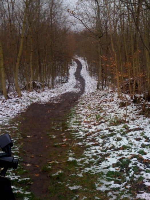
Nun geht´s langsam bergwärts zum Katzensteinbuck, dort erreiche ich den ersten Schnee.
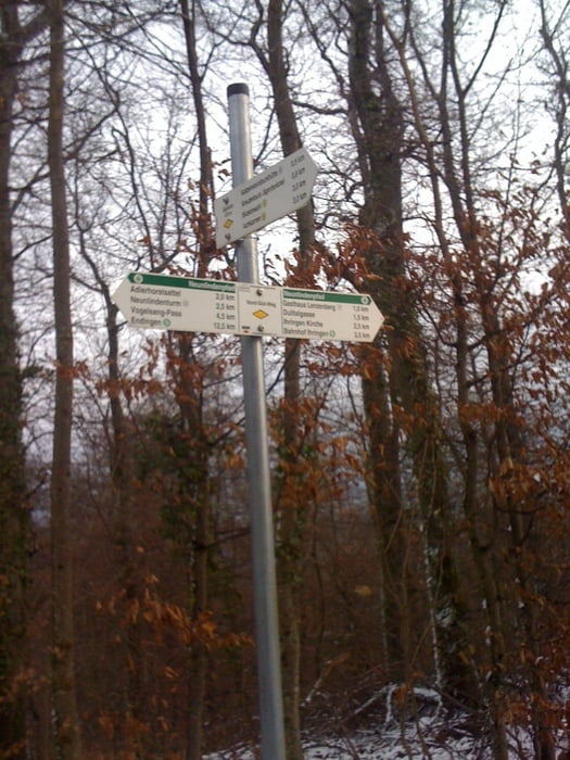
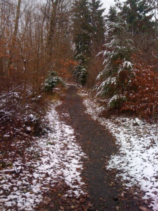
Weiter geht es Richtung Neunlinden ,nochmals eine leichte Steigung.
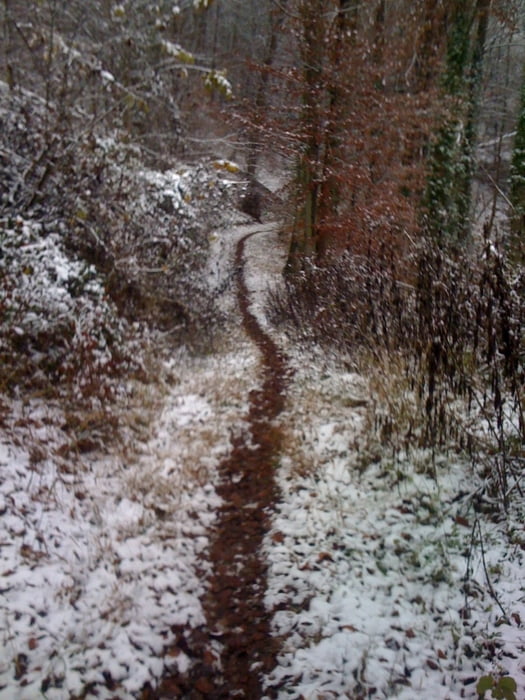
Kurz vor dem Turm geht´s recht´s ab Richtung Bötzingen, der Weg ist recht schmal und sehr rutschig (Schnee).
Unterwegs muss die Straße zum Vogelsang überquert werden, es geht fast nur noch bergab nach Bötzingen.
Tour gallery
Tour map and elevation profile
Minimum height 125 m
Maximum height 481 m
More about the tour author
|
|
kitom |
Comments

GPS tracks
Trackpoints-
GPX / Garmin Map Source (gpx) download
-
TCX / Garmin Training Center® (tcx) download
-
CRS / Garmin Training Center® (crs) download
-
Google Earth (kml) download
-
G7ToWin (g7t) download
-
TTQV (trk) download
-
Overlay (ovl) download
-
Fugawi (txt) download
-
Kompass (DAV) Track (tk) download
-
Track data sheet (pdf) download
-
Original file of the author (gpx) download
More about the tour author
|
|
kitom |
Add to my favorites
Remove from my favorites
Edit tags
Open track
My score
Rate