Login

Forgot your login?

Cookies have to be accepted!
Your browser's cookie functionality is disabled. Please enable this functionality.

Not a member yet?

Register now
Login

Available for registred users only

Log in to use this feature.

Forgot your login?

Cookies have to be accepted!
Your browser's cookie functionality is disabled. Please enable this functionality.

Not a member yet?

Register now
Filter
Categories
Advanced filters
  • Distance (km)
  • Height
Save filters Reset filter

TrackRank

QRCode

Technical data

Distance20,1 km Height444 m Way down444 m Duration02:00 h:m Date13.12.2009
Scores Author Landscape Fun factor Fitness Technique

Statistics

491 Views Scores 64 Downloads Average
Rate
  • Track data sheet
  • Directions
  • Downloads

Hi Biker,

ich hatte mal wieder das Verlangen ein paar Meter zu fahren.

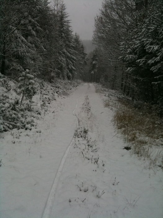
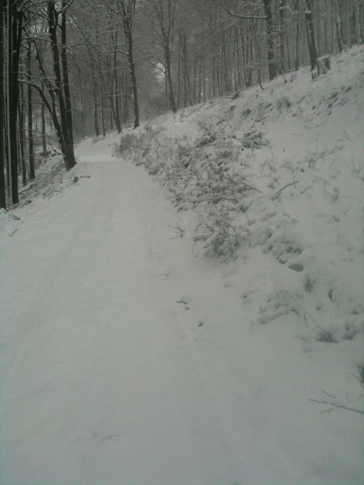
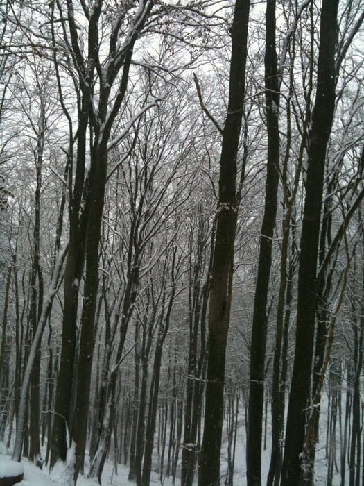
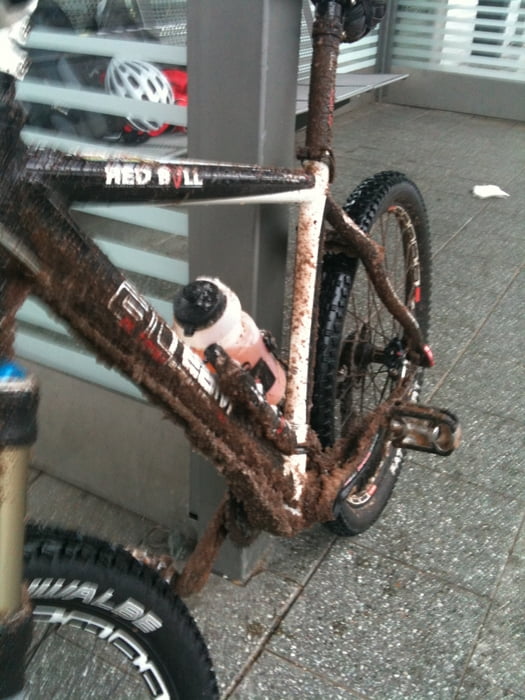
Leider war der Boden recht stark aufgeweicht, so dass ein befahren von Singel-Trails sozuagen nicht möglich war.

Dadurch ist meine Route abseits der gekennzeicneten Wege verlaufen.

Kann man auch bei Schnee fahren ;-)

Gruß
Georg

Tour gallery

Tour map and elevation profile

  • Open Street Map
  • Google
Minimum height 137 m Maximum height 526 m Detailed view

More about the tour author

gema75
Member since 2009

Send private message

Comments

GPS tracks

Trackpoints
  • GPX / Garmin Map Source (gpx) download
  • TCX / Garmin Training Center® (tcx) download
  • CRS / Garmin Training Center® (crs) download
  • Google Earth (kml) download
  • G7ToWin (g7t) download
  • TTQV (trk) download
  • Overlay (ovl) download
  • Fugawi (txt) download
  • Kompass (DAV) Track (tk) download
  • Track data sheet (pdf) download
  • Original file of the author (gpx) download

More about the tour author

gema75
Member since 2009

Send private message
Share track
Add to my favorites
Remove from my favorites
Edit tags
My score
Rate
Track: Neustadt - Hellerhütte - Neustadt
Type: Mountain bike
Distance: 20,1 km
Evaluated on:
Duration:
Day(s)
Hour(s)
Minute(s)
Score: Landscape Fun factor Fitness Technique