Login

Forgot your login?

Cookies have to be accepted!
Your browser's cookie functionality is disabled. Please enable this functionality.

Not a member yet?

Register now
Login

Available for registred users only

Log in to use this feature.

Forgot your login?

Cookies have to be accepted!
Your browser's cookie functionality is disabled. Please enable this functionality.

Not a member yet?

Register now
Filter
Categories
Advanced filters
  • Distance (km)
  • Height
Save filters Reset filter

TrackRank

QRCode

Technical data

Distance29,6 km Height480 m Way down561 m Duration06:00 h:m Date15.12.2009
Scores Author Landscape Fun factor Fitness Technique

Statistics

225 Views Scores 69 Downloads Average
Rate
  • Track data sheet
  • Directions
  • Downloads

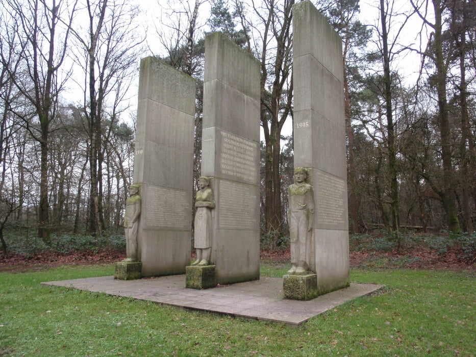
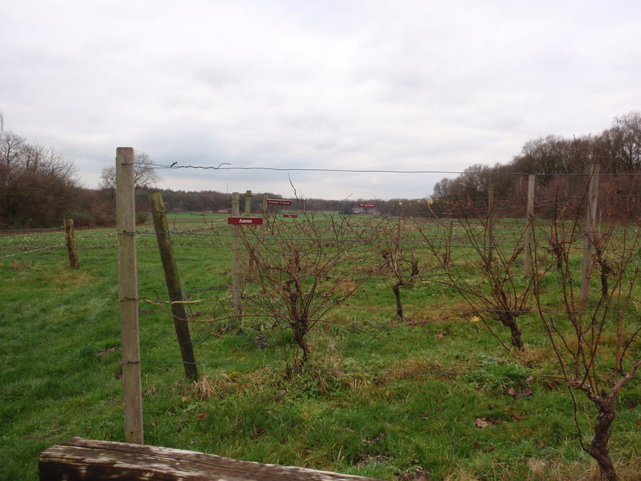
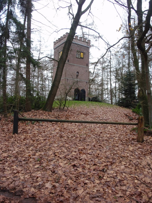
Dit najaar hebben we de jubileumtocht van de Rijssense Wandelclub gedownload en gewandeld.

Prachtige tocht door het Sallandse landschap met veel afwisseling en de ""beklimming" van de volgende bergen; Rijssenberg, Friesenberg, Markeloseberg, Kattenberg, Beuseberg ,Bovenberg en de Apenberg.

Tour gallery

Tour map and elevation profile

  • Open Street Map
  • Google
Minimum height -26 m Maximum height 102 m Detailed view

More about the tour author

japie7
Member since 2009

Send private message

Comments

GPS tracks

Trackpoints
  • GPX / Garmin Map Source (gpx) download
  • TCX / Garmin Training Center® (tcx) download
  • CRS / Garmin Training Center® (crs) download
  • Google Earth (kml) download
  • G7ToWin (g7t) download
  • TTQV (trk) download
  • Overlay (ovl) download
  • Fugawi (txt) download
  • Kompass (DAV) Track (tk) download
  • Track data sheet (pdf) download
  • Original file of the author (gpx) download

More about the tour author

japie7
Member since 2009

Send private message
Share track
Add to my favorites
Remove from my favorites
Edit tags
My score
Rate
Track: Zevenbergentocht
Type: Hiking
Distance: 29,6 km
Evaluated on:
Duration:
Day(s)
Hour(s)
Minute(s)
Score: Landscape Fun factor Fitness Technique