


Wunderschöne Tagestour zum Genießen!!
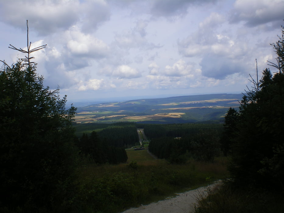
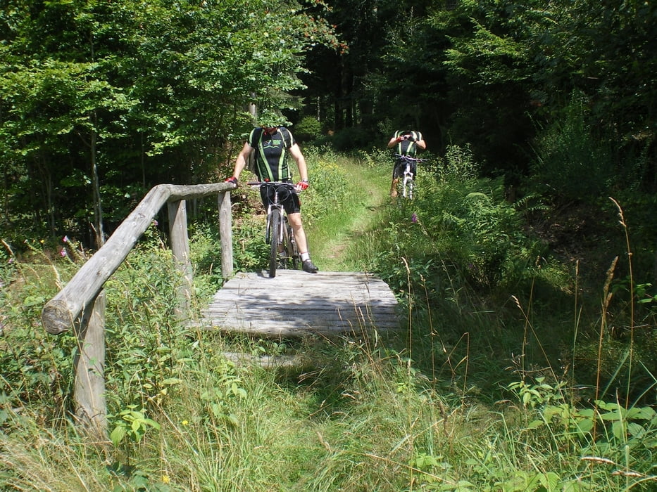
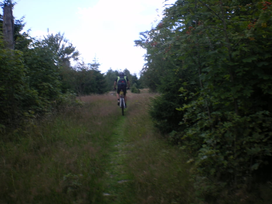
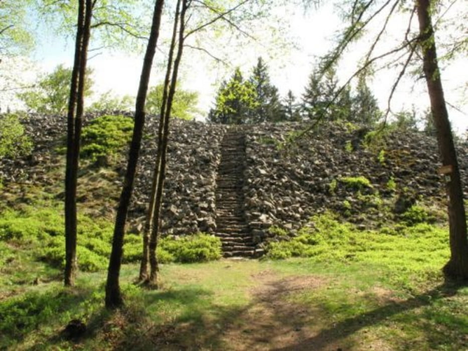
Die Strecke führt abseits von Autostraßen über Feld-, Wald-, und Wanderwege über Nohfelden durch den tiefsten Hochwald auf den Erbeskopf. Der Rückweg verläuft auf dem Hunsrücksteig mit traumhaften Trails vorbei am Hunnenring zum Nonnweiler Stausee. Siehe Bilder.
Bevor es dann zum Ausrollen über die Bahntrasse zurück nach St. Wendel geht gibt's noch einen kurzen Abstecher zum Schaumbergturm in Theley.
Rastmöglichkeiten am Erbeskopf, Nonnweiler Stausee, Hofgt Imsbach und auf dem Wendelinus Radweg in Bliesen.
Übrigens ist der Tiroler Stein für Geocacher auch interessant.
Wünsche Euch beim Nachfahren so schönes Wetter wie wir es hatten!!
Gruß
Hudora
Tour gallery
Tour map and elevation profile
Minimum height 292 m
Maximum height 812 m
More about the tour author
|
|
Hudora |
Comments

GPS tracks
Trackpoints-
GPX / Garmin Map Source (gpx) download
-
TCX / Garmin Training Center® (tcx) download
-
CRS / Garmin Training Center® (crs) download
-
Google Earth (kml) download
-
G7ToWin (g7t) download
-
TTQV (trk) download
-
Overlay (ovl) download
-
Fugawi (txt) download
-
Kompass (DAV) Track (tk) download
-
Track data sheet (pdf) download
-
Original file of the author (gpx) download
More about the tour author
|
|
Hudora |
Add to my favorites
Remove from my favorites
Edit tags
Open track
My score
Rate