Login

Forgotten password?

Cookies have to be accepted!
Your browser's cookie functionality is disabled. Please enable this functionality.

Not a member yet?

Register now
Login

Available for registred users only

Log in to use this feature.

Forgotten password?

Cookies have to be accepted!
Your browser's cookie functionality is disabled. Please enable this functionality.

Not a member yet?

Register now
Filter
Categories
Advanced filters
  • Distance (km)
  • Height
Save filters Reset filter

TrackRank

QRCode

Technical data

Distance40,8 km Height1532 m Way down2051 m Duration00:00 h:m Date17.12.2009
Scores Author Landscape Fun factor Fitness Technique

Statistics

703 Views Scores 152 Downloads Average
Rate
  • Track data sheet
  • Directions
  • Downloads

Champery - Martigny; Über Gran Paradis hoch zur Alm Bonavau (1545m) - steiler Wanderweg mit Trage- und Schiebepassagen zur Cabane de Susanfe (2102m, bewirtschaftete Hütte) - Schiebestrecke zum Col de Susanfe (2494m) - Abstieg und Abfahrt zum Lac de Salanfe (1925m) - Downhill auf Karrenweg  durch das Vallon de Van (1464m) - auf Teersträßchen nach Salvan - Pont de Gueroz - La Batiaz - Martigny (474m)
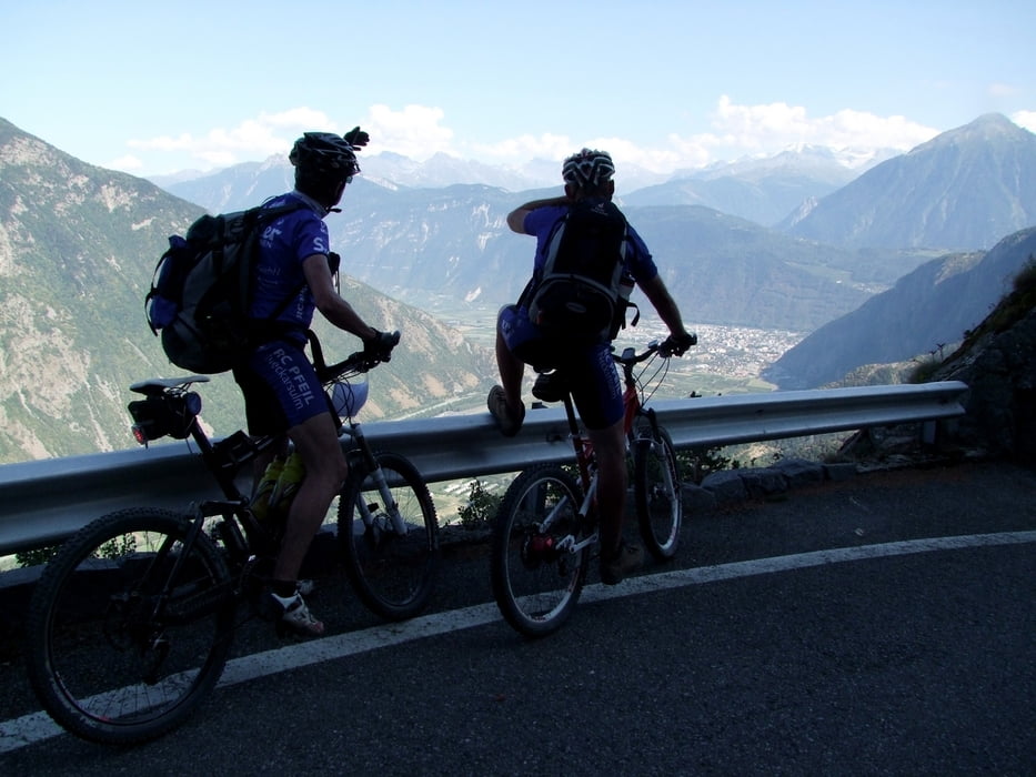
Tour gallery

Tour map and elevation profile

  • Open Street Map
  • Google
Minimum height 487 m Maximum height 2509 m Detailed view

More about the tour author

rockydoc
Member since 2008

Send private message

Comments

GPS tracks

Trackpoints
  • GPX / Garmin Map Source (gpx) download
  • TCX / Garmin Training Center® (tcx) download
  • CRS / Garmin Training Center® (crs) download
  • Google Earth (kml) download
  • G7ToWin (g7t) download
  • TTQV (trk) download
  • Overlay (ovl) download
  • Fugawi (txt) download
  • Kompass (DAV) Track (tk) download
  • Track data sheet (pdf) download
  • Original file of the author (gpx) download

More about the tour author

rockydoc
Member since 2008

Send private message
Share track
Add to my favorites
Remove from my favorites
Edit tags
My score
Rate
Track: West-Alpencross Genfer See-Bordighera Tag2
Type: Transalp
Distance: 40,8 km
Evaluated on:
Duration:
Day(s)
Hour(s)
Minute(s)
Score: Landscape Fun factor Fitness Technique